Hiking and trekking on Bornholm – cliffs, forests and coastal trails
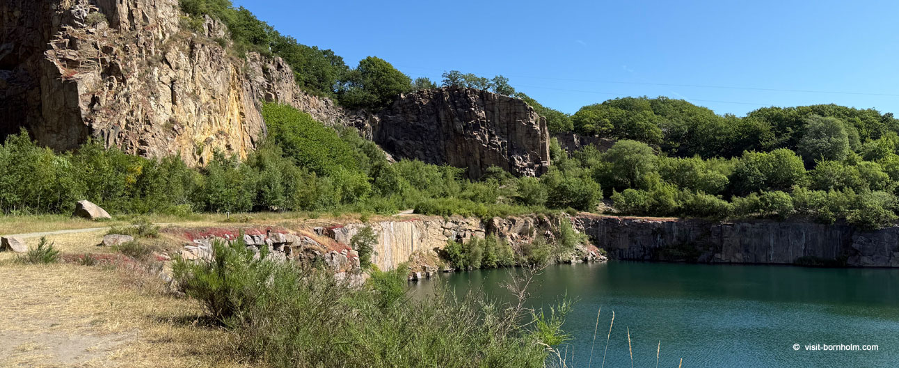
Bornholm offers some of the most rewarding hiking trails in the Baltic region – from coastal paths and granite cliffs to forest trails and the quieter interior of the island. On this page you'll find an overview of the main routes and ideas for hikes – from multi-day trekking around the island to short city walks.
Each part of the island offers a different landscape: the rugged cliffs of the north, the forested areas of Almindingen, the picturesque eastern coast and the sandy beaches of the south. Trails are well marked, distances are short, and local BAT buses make it easy to return to base from any point along the route.
 Kyststien – hiking loop around Bornholm
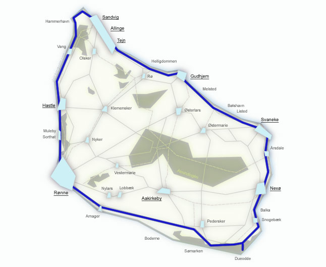
Kyststien (the Coastal Path) is the most famous hiking trail on Bornholm – approximately 120 kilometres of trail leading around the entire island along the coast. The route connects the sandy beaches of the south with the granite cliffs of the north, fishing harbours with peaceful forest sections. The trail is marked with orange signs featuring a white hiker symbol.
The loop starts and ends in the same place – the official starting point is Rønne, but you can begin the route from any town along the trail. At a relaxed pace, with time for sightseeing, the full loop takes 7–10 days. Each of the 7 stages also works well as a standalone day hike.
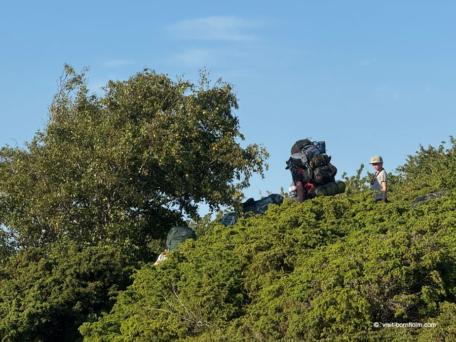
7 stages of Kyststien
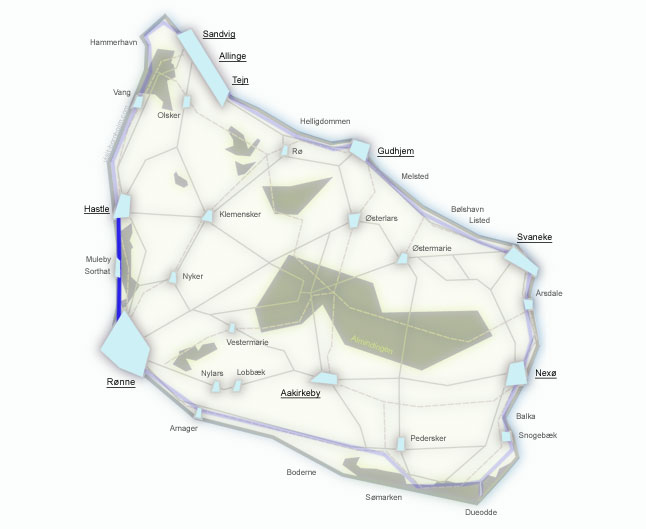
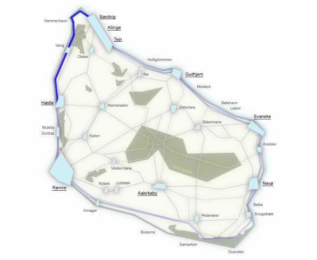
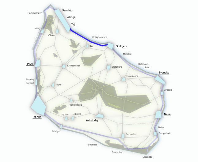
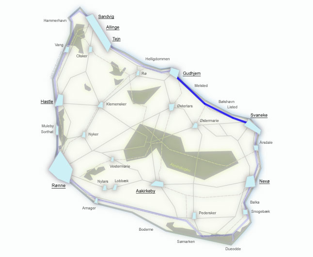
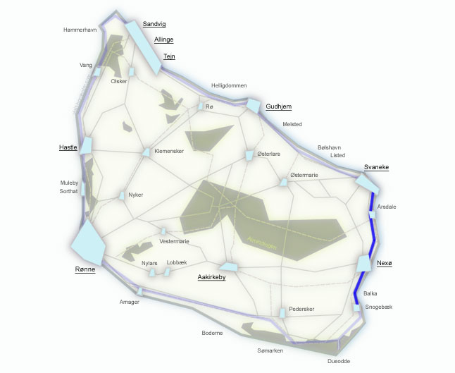
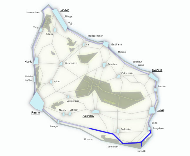
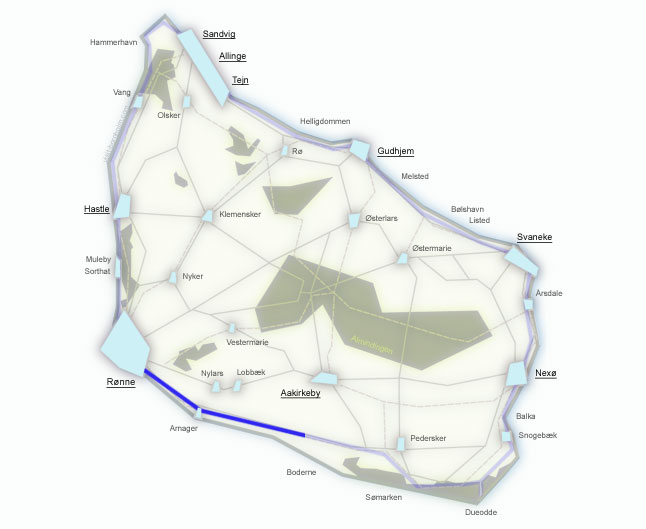
The official division of the trail is 7 stages. The description below starts from Rønne and runs clockwise, but each stage is independent – you can complete it separately, starting from any point on the route.
Difficulty has been rated from the perspective of hikers with experience in multi-day treks.
When planning a multi-day route, it's worth booking accommodation in advance – campsites, shelters and hostels are located along the trail. BAT buses allow you to return to base from any stage.
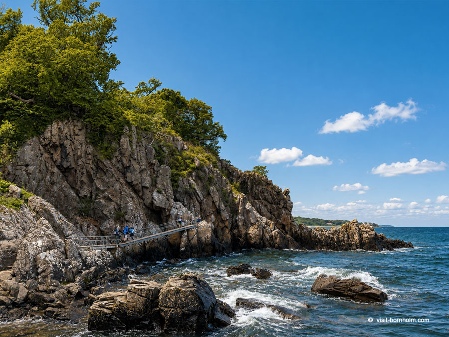
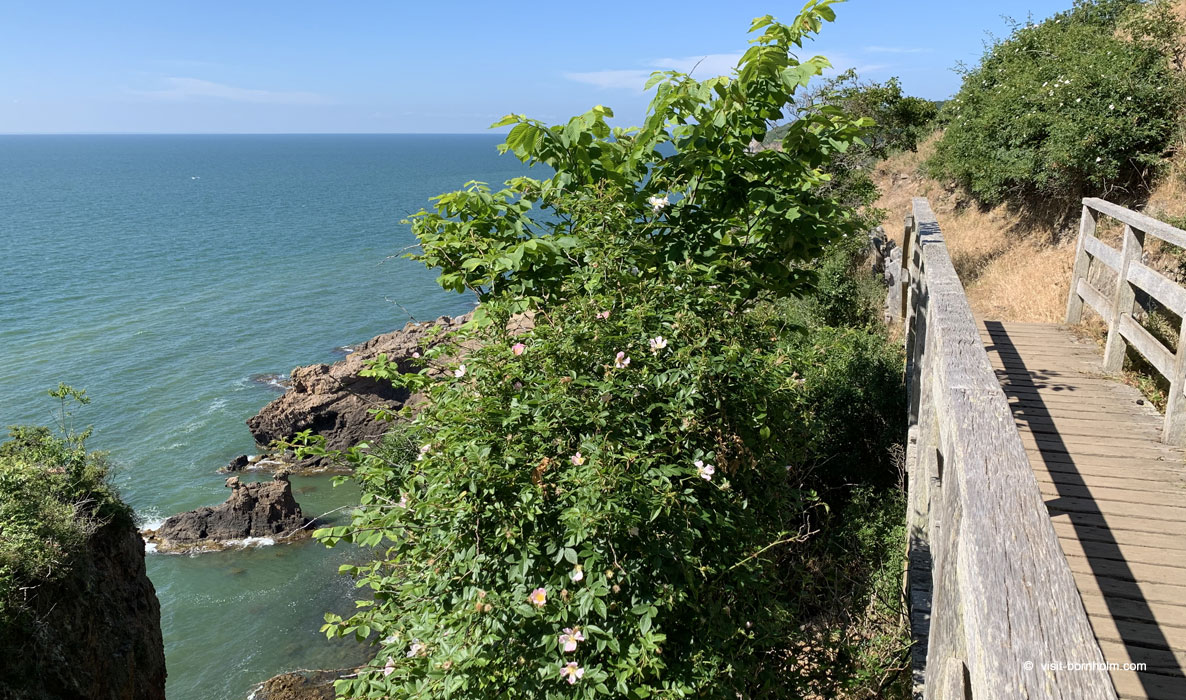 Kyststien trail at the Hammeren cliffs – northern coast of Bornholm
 City walks
Not every walk on Bornholm requires hiking boots. The island's capital Rønne and the port town of Nexø offer walking routes that let you discover the character of Bornholm's towns – their history, architecture and everyday life.
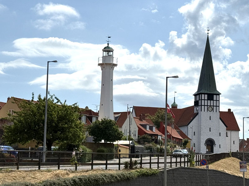
Walk around Rønne
Bornholm's capital combines a harbour character with the charm of an old town. The route leads through cobblestone streets, colourful half-timbered houses, Store Torv square, the harbour and the waterfront. An undemanding walk, ideal for your first day on the island.
See the route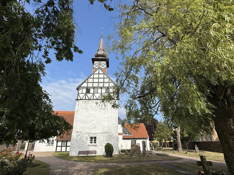
Walk around Nexø
The second largest town on the island, with a large fishing harbour and marina. The route leads along the harbour, through the centre with local shops and towards the waterfront. Quieter and more authentic than Rønne – full of harbour character.
See the routeOther trails worth noting
Besides Kyststien and city walks, Bornholm offers many shorter trekking routes through the most scenic parts of the island.
Practical information
Trail markings
Kyststien and Højlyngsstien – orange signs with a white hiker. Trails in Almindingen and Paradisbakkerne – coloured dots on trees. Surface varies: asphalt, gravel, forest paths, beach, rocks.
When to go?
The best period is May–September. Summer brings the longest days and 17–22°C. Spring and autumn: fewer crowds, beautiful colours. In winter trails are accessible, but rocky sections can be slippery.
What to pack?
Hiking boots (ankle-high for rocky sections), a windbreaker, water and snacks. For longer routes – a map or the Bornholm app (offline). For Kyststien – a tent or accommodation bookings.
Transport – BAT buses
Local buses connect all major towns. A convenient way to return to base after completing a stage or to reach the starting point of a route. Timetables: bat.dk.
Accommodation along the trail
Along the trails you'll find campsites, hostels, free bivouac shelters and simple tent pitches (fri-camps). Distances between accommodation options are 10–20 km. In season it's worth booking in advance.
Hiking trails overview
Explore a ready-made guide with navigation for hiking trails on Bornholm.
Hiking trails overview – choose yours