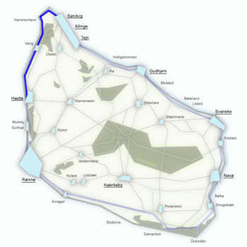
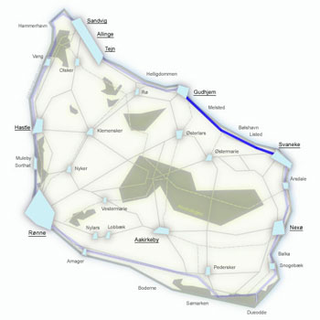
Kyststien Stage 3 – trekking from Sandvig to Gudhjem along the cliff coast
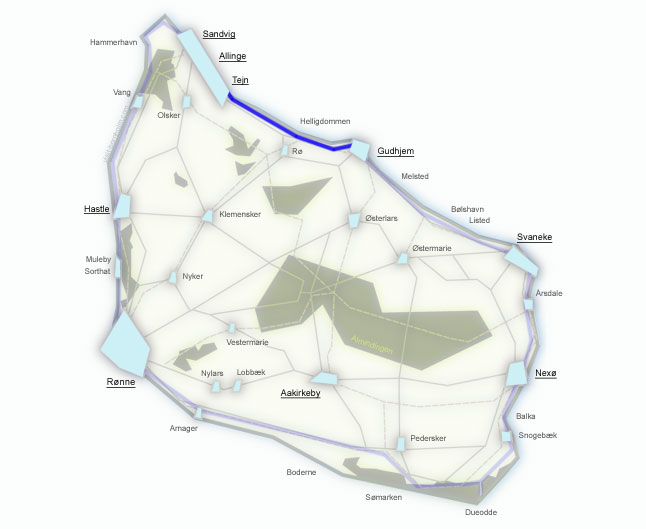
16 km along the northern coast – from Sandvig through Allinge and Tejn to Gudhjem. This stage combines pleasant paved sections through seaside towns with one of the most beautiful stretches of the entire Kyststien: 8 km from the Helligdomsklipperne cliffs to Gudhjem through deep forests, idyllic fields and narrow paths right above the sea. At the end, Gudhjem awaits – the only "mountain" town in Denmark.
Stage facts
Distance
16 km – from Sandvig to Gudhjem along the northern coast
Walking time
Approx. 4 hours – longer with time at Helligdomsklipperne
Surface
Asphalt to Tejn, then hilly gravel path and forest trails to Gudhjem
Difficulty
Moderate/Hard – the first half is easy, from Helligdomsklipperne hilly with ascents and descents
Water and toilets
Sandvig harbour, Allinge, Tejn, Bornholms Kunstmuseum at Helligdomsklipperne, Gudhjem
Parking
Car park by the beach in Sandvig or Gudhjem harbour (paid)
Route description
From Sandvig east through Allinge and Tejn, then along forest paths above the Helligdomsklipperne cliffs and one of the most beautiful sections of the Kyststien to Gudhjem.
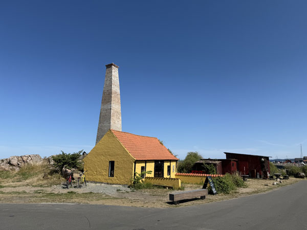
Start at the beach in Sandvig – Bornholm's northernmost beach. From here follow Strandvejen towards Allinge, past the harbour and the Nordbornholms Røgeri smokehouse.
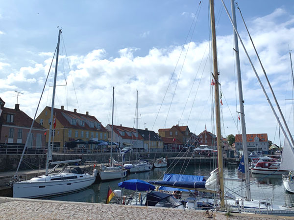
The main tourist hub of northern Bornholm with a charming harbour. Plenty of cafés and restaurants for a break. Beyond Allinge a pleasant path runs along beaches and small rock formations south to Sandkås.
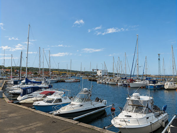
A fishing harbour on the northern coast – host of the annual Trolling Master Bornholm competition. From here the trail joins the main road and passes Stammershalle Badehotel before signs lead back into the forest towards the cliffs.
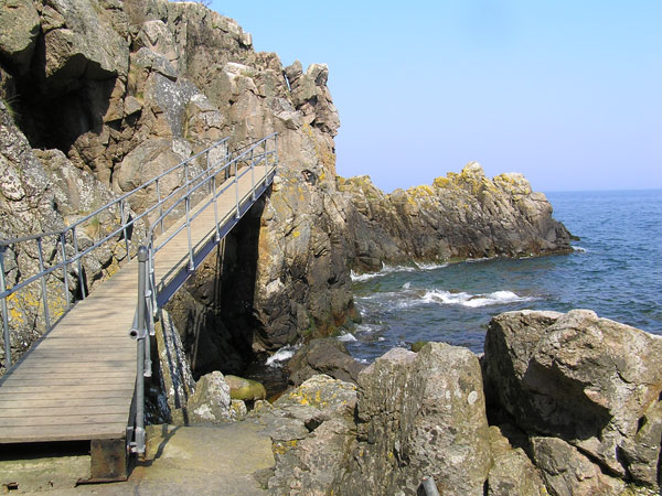
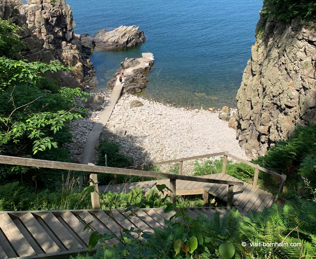
One of Denmark's most important natural landmarks – massive granite cliffs on the rocky coast between Tejn and Gudhjem. The trail follows a narrow path through the forest high above the formations, but it is well worth descending the stairs to see them from below – including the Sorte Gryde (Black Pot) cave. Above the cliffs stands Bornholms Kunstmuseum – an art museum set in one of Denmark's most beautiful landscapes.
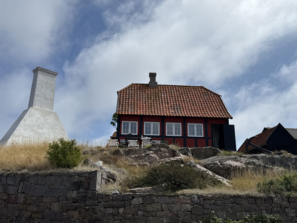
The final 8 km are the most beautiful stretch of the entire Kyststien: ascents and descents, idyllic fields, deep forest, a narrow path right above the beach and a view of Gudhjem from Salene Bugt bay. At Nørresand the trail turns onto asphalt and descends to the harbour. Gudhjem is the only "mountain" town in Denmark – colourful houses on a steep hillside above the harbour. Here they serve the famous Sol over Gudhjem – smoked herring with egg yolk and chives.
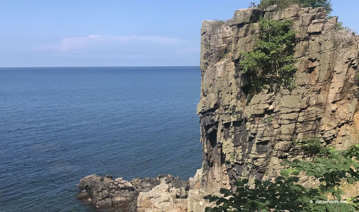 Helligdomsklipperne – granite cliffs between Tejn and Gudhjem, one of Bornholm's iconic landmarks
Practical tips
Trail markings
Orange signs with a white hiker. Easy to follow to Tejn; from Helligdomsklipperne watch for the signs – the forest path winds between the trees.
Footwear and gear
Hiking boots for the second half of the stage (from Tejn). The first section is paved – trainers are fine. Bring water – there are no supply points between Tejn and Gudhjem.
Getting back
BAT bus from Gudhjem to Rønne, Allinge or Svaneke. Connections also available from Allinge and Tejn.
Worth seeing
Bornholms Kunstmuseum above the Helligdomsklipperne cliffs – one of the most beautifully located museums in Scandinavia. Check opening hours before your visit.