Kyststien Stage 2 – trekking from Hasle to Sandvig via cliffs and Hammershus
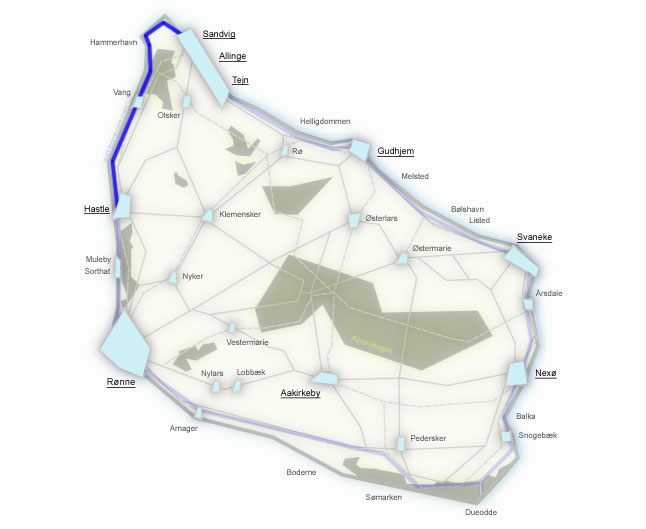
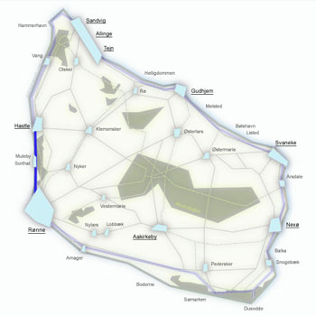
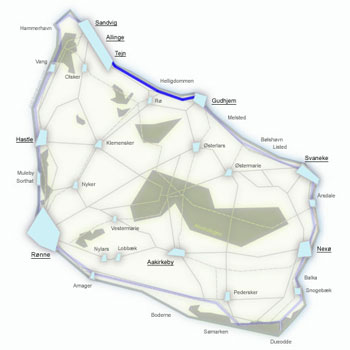
One of the most beautiful stages of the entire Kyststien – 18 km from Hasle to Sandvig across uneven, hilly terrain with many steep ascents and descents. But the reward is immense: spectacular views from the cliffs of northern Bornholm, the legendary Jons Kapel rock, the mighty Hammershus ruins, and a loop around the granite headland of Hammerknuden with its lighthouse and medieval chapel.
Stage facts
Distance
18 km – from Hasle to Sandvig along the north-west coast
Walking time
5–6 hours – with many ascents and descents
Surface
Asphalt through Helligpeder, then hilly gravel path, rocks and forest trails. Uneven terrain
Difficulty
Moderate/Hard – a varied Kyststien stage. Steep climbs, uneven paths, numerous stairs
Water and toilets
Hasle harbour, Hammershus (visitor centre), Hammerhavn, Sandvig beach
Parking
Hasle Røgeri or the car park at Sandvig beach
Route description
From Hasle northward through the fishing villages of the west coast, steep cliffs and the ruins of the largest fortress in Northern Europe, all the way around the granite headland of Hammerknuden.
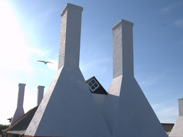
Start at Hasle Røgeri. The trail heads north on a shared pedestrian and cycling path along the coast to the fishing village of Helligpeder.
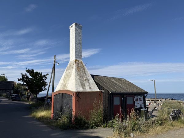
Two tiny fishing villages on the west coast – colourful houses nestled right above the sea. The asphalt ends at Gines Minde – from here the real trekking begins: a steep climb through the forest towards Jons Kapel.
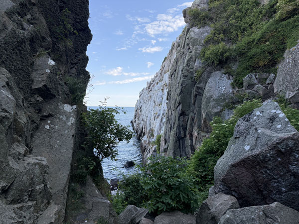
A legendary, 40-metre rock towering above the sea on the west coast. According to legend, the monk Jon preached sermons to the seals from its top. It is worth descending the stairs to see the formation up close. From here the trail follows a narrow, uneven path high above the sea – steep ascents and descents, but spectacular views.
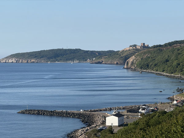
Before Vang the trail passes the Blåskinsdalen valley and the former Ringebakkebruddet granite quarry – it is worth turning off to the viewpoint above the disused quarry. Vang is a peaceful coastal settlement, ideal for a rest before the next climb. Café Solvang at the harbour serves coffee and snacks with a sea view.
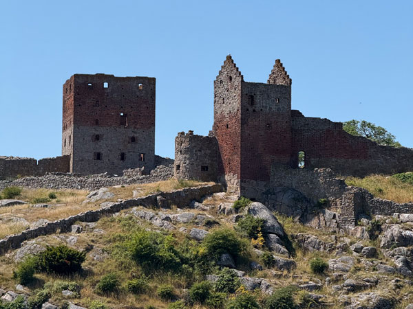
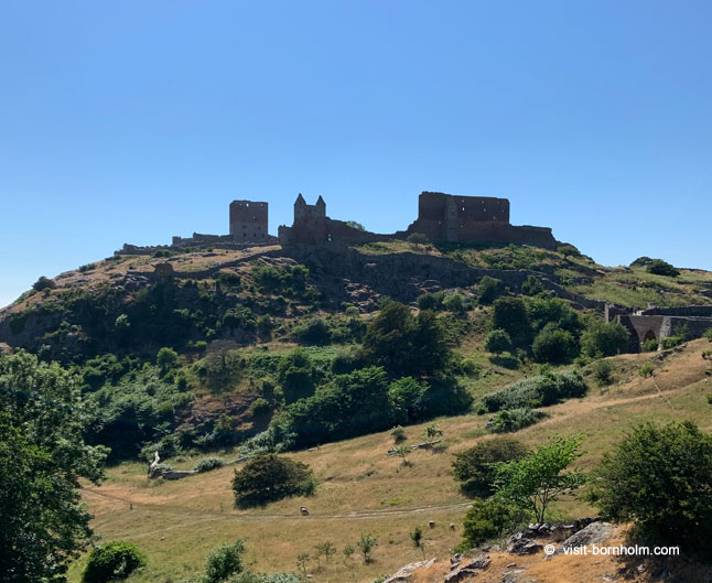
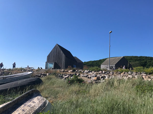
From the rocky beach at Vang, steep stairs lead up to Slotslyngen, then through the forest to the Hammershus ruins – the largest medieval fortress in Northern Europe, perched on a cliff 74 m above the sea. Bornholm's most popular attraction. The visitor centre, built into the rocky hillside, houses an exhibition on the castle's history. By the ruins, the Brohuset café serves Bornholm specialities with a view of the fortress.
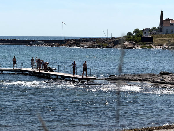
A descent from the ruins across open ground to Hammerhavn harbour – built from massive granite blocks. From the car park here the final section of the stage begins: a loop around the entire Hammerknuden headland.
The loop around Hammerknuden is an adventure in itself: the ruins of Salomons Kapel chapel, where large herring fairs were held in the Middle Ages, the forest lakes Opalsø and Hammer Sø, and the Hammerodde Fyr lighthouse from 1895. The trail ends in Sandvig – the northernmost town on the island, with a charming beach and ice cream made from local milk at Sandvig IS Kalas.
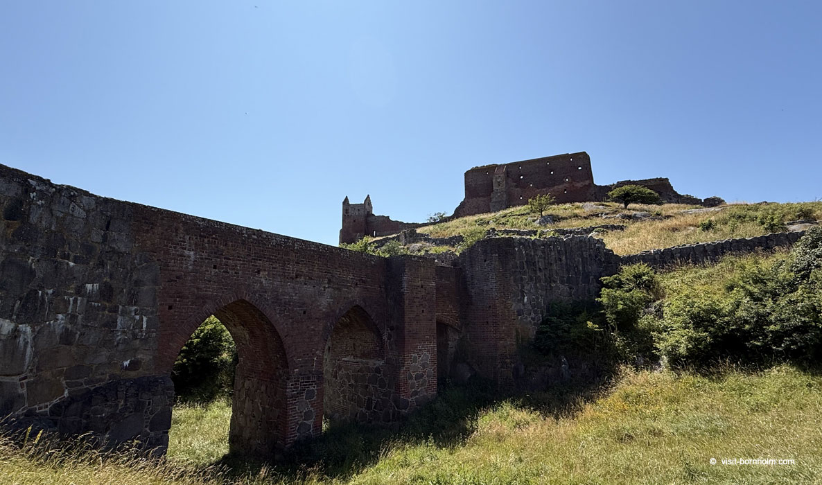 Hammershus ruins on a cliff 74 m above the sea – Bornholm's most popular attraction
Practical tips
Trail markers
Orange signs with a white hiker. On the Jons Kapel – Vang section the path is narrow and uneven – watch for the markers, it is easy to lose the trail.
Footwear and gear
Ankle-high trekking boots – essential. Granite and wet rocks can be slippery. Trekking poles are useful on steep sections. Bring at least 1.5 l of water.
Getting back
BAT bus from Sandvig to Rønne, Allinge or Gudhjem. Runs regularly during the season.
Warning
Not suitable for pushchairs or people with limited mobility. The Jons Kapel – Vang section requires good physical fitness.