Kyststien Stage 1 – from Rønne to Hasle along Bornholm's coast
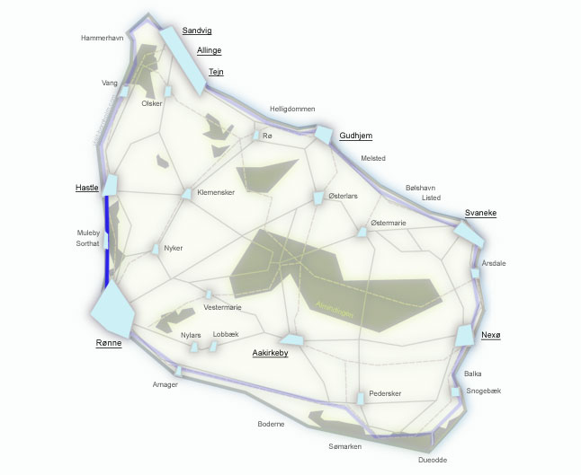
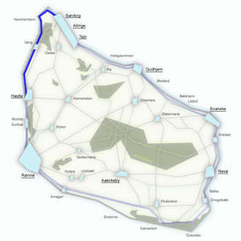
The first stage of Kyststien is a gentle start to the full 7-day hike around Bornholm. 11 km from Rønne north to Hasle – through coastal beaches, Blykobbe Plantage forest, colourful lakes left by a former clay quarry and the barren, lunar landscape of Kultippen. At the end, the traditional Hasle Røgeri smokehouse awaits, where herring is smoked in open chimneys over alder wood.
Stage facts
Length
11 km – from Rønne to Hasle along the west coast
Walking time
Approx. 3 hours – without longer stops
Surface
Tarmac leaving Rønne, then forest paths, some beach and nature trail. Flat terrain
Difficulty
Moderate/Easy – one of the easiest sections of Kyststien. Ideal warm-up
Water and toilets
Public toilets with water: Rønne harbour, Antoinette Strand, Hasle
Parking
Bornholm Velkomstcenter in Rønne or at Hasle Røgeri
Route description
From Bornholm Velkomstcenter at Rønne harbour heading north – through coastal forest, along the beach and past geological curiosities. The trail is marked with orange signs featuring a white walker.
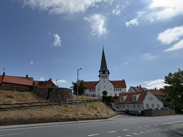
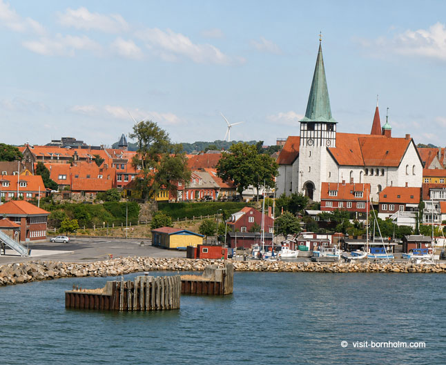
Start at Bornholm Velkomstcenter on the quay. From here north along Kystvejen to the roundabout, then towards Hasle – following the Kyststien signs into the forest.
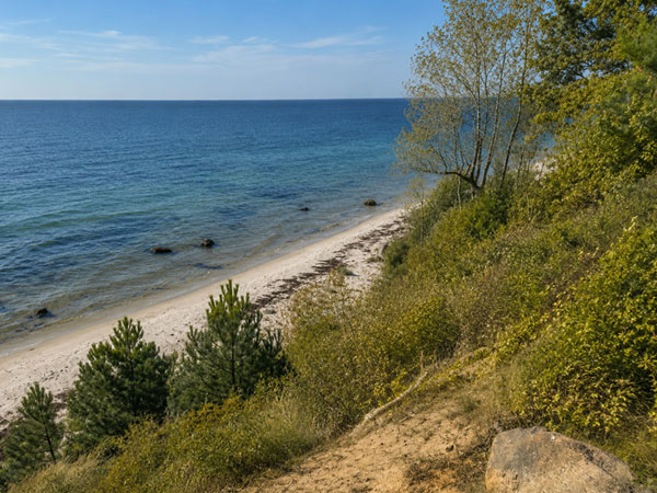
A sandy, family-friendly beach just outside town – a good point for your first stop and a possible swim. Beyond the beach the trail enters Blykobbe Plantage forest and follows a woodland path along the shore.
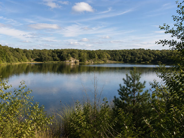
Beyond the Blykobbe Å stream the trail passes an increasingly steep slope above the sea, and past the village of Sorthat-Muleby reaches Pyritsøen – a former clay quarry that has turned into a picturesque lake. Nearby are three more similar pools: Safirsøen, Smaragdsøen and Rubinsøen – remnants of mining dating back 170 million years.
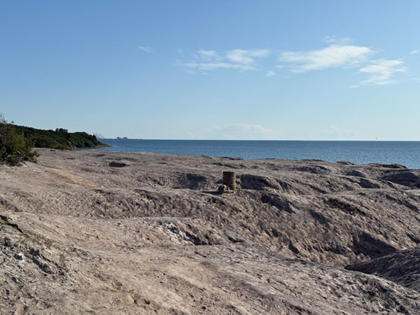
The most unusual spot on the stage – a barren, completely vegetation-free area resembling the surface of the Moon. Kultippen was formed from deposited sulphurous clay from the former coal industry. Only old wagons protrude from the landscape – relics of a 19th-century mine. At night it's one of the best places on Bornholm for stargazing.
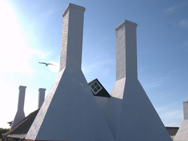
Beyond Kultippen the trail follows a path just above a beautiful, often deserted beach – before Hasle it passes Klympen Strand, ideal for a swim. Destination: Hasle Røgeri – the last smokehouse on Bornholm, where herring and mackerel are smoked traditionally in open chimneys over alder wood. An essential food stop.
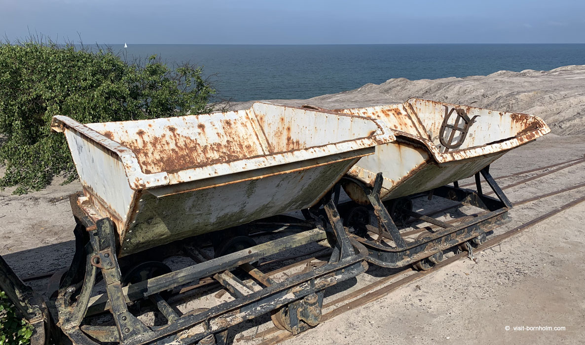 Kultippen – barren landscape from a former coal mine, now one of the best spots for astrophotography
Practical tips
Waymarking
Orange signs with a white walker symbol. The trail starts at the roundabout past the harbour in Rønne – the first signs lead into the forest.
Footwear and gear
Easy stage – comfortable trainers will suffice. Forest paths can be slippery after rain. Bring water and snacks.
Return to Rønne
BAT bus from Hasle to Rønne – approx. 15 min. Runs regularly, especially in season.
Swimming on the route
Two good beaches: Antoinette Strand (at the start) and Klympen Strand (just before Hasle). Both with fine sand and shallow entry.