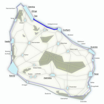
Kyststien Stage 4 – trekking from Gudhjem to Svaneke along Bornholm's east coast
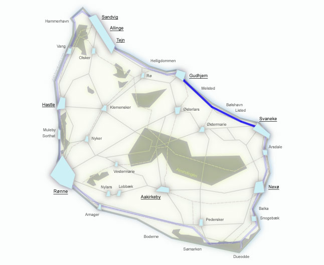
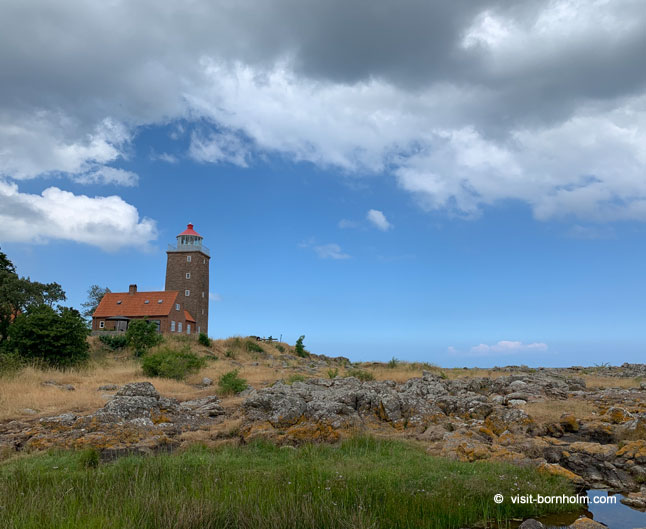
17 km along the east coast – from colourful Gudhjem through idyllic fishing villages where time stands still to award-winning Svaneke. Along the way, half-timbered cottages by the sea, prehistoric menhirs and Randkløve Skår – a two-metre-wide crevice in the granite cliff, 14 metres deep. The final 2 km is a gravel path right by the sea with views of Vige harbour – one of the most beautiful sections of the trail.
Stage facts
Distance
17 km – from Gudhjem to Svaneke along the east coast
Walking time
4–5 hours – with stops at villages and Randkløve Skår
Surface
Some paved road, forest paths, nature trail. Gently hilly but no extreme climbs
Difficulty
Moderate – gentler than stages 2 and 3, but the terrain is still uneven
Water and toilets
Gudhjem harbour, Melsted (Kobbeå Strand), Ypnastad (composting – no water), Bølshavn, Listed, Svaneke
Parking
Gudhjem harbour (paid) or Svaneke harbour
Route description
From Gudhjem harbour, climb the stairs to the cliffs and head south – along the east coast full of small harbours, half-timbered houses and rock formations all the way to Svaneke.
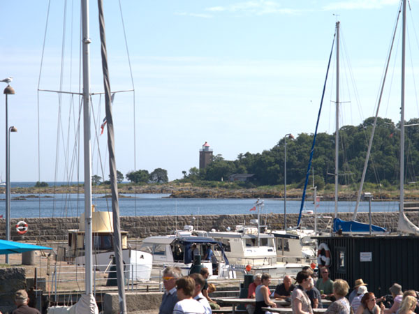
Start at Gudhjem harbour. Take the stairs at the southern end of the harbour up to the cliffs – from here the path follows the coastline along the rocky shore to the campsite at Melsted.
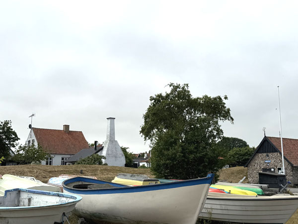
Through the campsite to Melsted Harbour. It is worth a detour to Melstedgaard – an agricultural open-air museum with farm animals and demonstrations of traditional farm life. Past the harbour the trail joins the road and follows a cycle path.
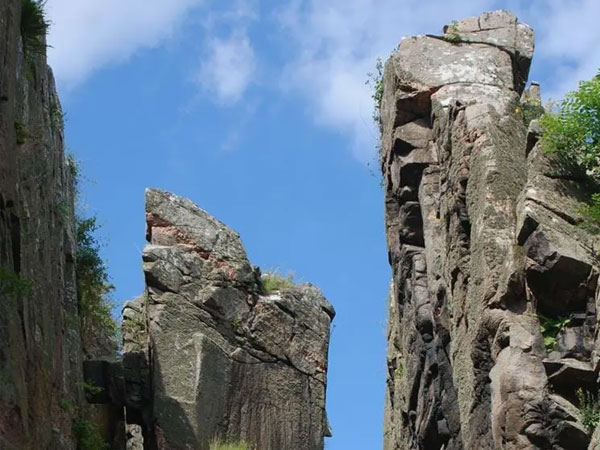
After about 3 km the trail turns left off the road into the forest and down to the coast. Randkløve Skår is a natural phenomenon – a two-metre-wide and 14-metre-deep crevice in the granite cliff. It is worth descending the steps to see it up close. From here the path passes idyllic half-timbered cottages and prehistoric menhirs.
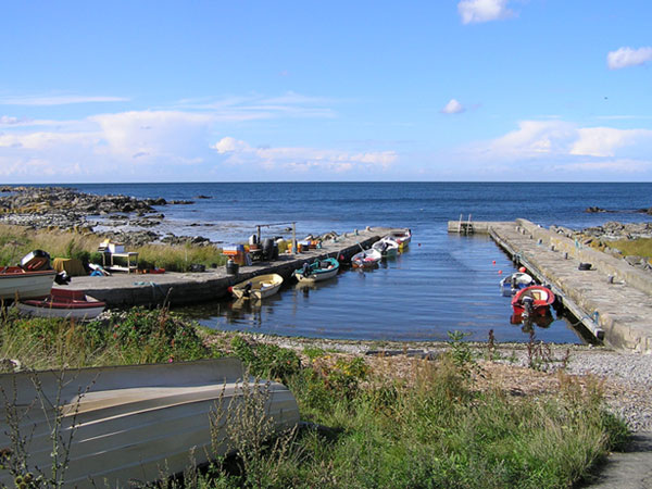
Two peaceful fishing villages on the east coast. Tiny Haralds Harbour, slightly larger Bølshavn with its colourful houses, and Listed with its fishing harbour. In Listed the trail passes the harbour and joins a path at the southern end of the village – from here begins one of the most beautiful sections of the stage.
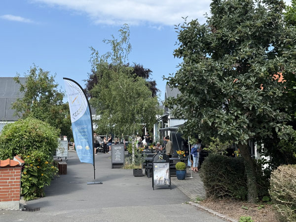
The final 2 km from Listed to Svaneke is a gravel path right by the sea and dramatic cliffs – with a beautiful view of Vige harbour and the marina. Past Vige harbour, climb the steps and weave through narrow lanes to Svaneke harbour – Denmark's easternmost town, awarded for its beautiful architecture. Svaneke Bryghus serves local craft beers.
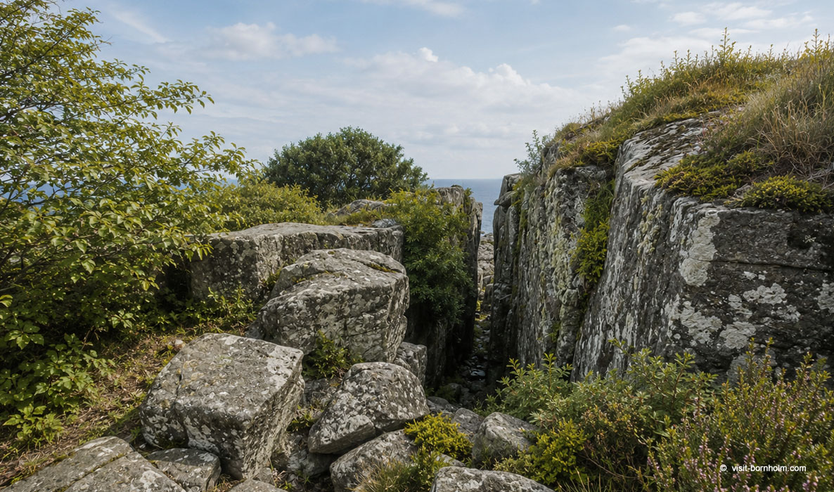 Randkløve Skår – a two-metre-wide crevice in the cliff, 14 metres deep
Practical tips
Signage
Orange signs with a white hiker. After leaving Melsted, watch for the turn off the road into the forest – it is easy to miss.
Footwear and gear
Hiking boots recommended – uneven terrain, rocks and forest paths. Bring water – there are no water points on the Melsted–Bølshavn section (Ypnastad has a composting toilet only).
Getting back
BAT bus from Svaneke to Rønne, Gudhjem or Nexø. Runs regularly in season.
Worth seeing
Melstedgaard – agricultural open-air museum with demonstrations. Randkløve Skår – descend the steps. Svaneke Bryghus – award-winning craft brewery.