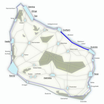
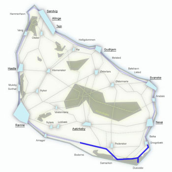
Kyststien Stage 5 – trekking from Svaneke to Snogebæk along Bornholm's beaches and cliffs
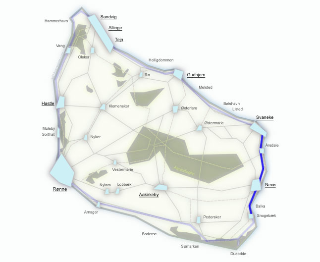
17 km from the rocky east coast to the sandy south – from elegant Svaneke past low cliffs, the coastal village of Årsdale with its windmill and smokehouse, the port town of Nexø, all the way to the white sands of Balka Beach, where the final 4 km lead directly along the shore to the fishing village of Snogebæk. A pleasant, mostly flat stage ideal for recovery after the demanding northern sections.
Stage facts
Distance
17 km – from Svaneke to Snogebæk along the east and south coast
Walking time
4–5 hours – longer if you stop for a swim at Balka Beach
Surface
Flat terrain. Asphalt in towns, gravel path and nature trail outside them, sand at Balka Beach
Difficulty
Easy/Moderate – a pleasant, flat stage after the demanding northern sections
Water and toilets
Svaneke harbour, bus stop in Årsdale, Nexø town square, northern end of Balka Beach, Snogebæk harbour
Parking
Svaneke harbour or near Snogebæk Røgeri
Route description
From Svaneke south along the rocky coastline, through Årsdale and Nexø, onto the white sands of Balka Beach and on to the fishing village of Snogebæk.
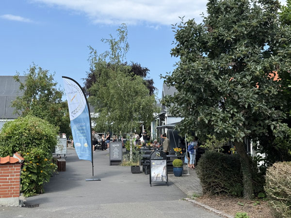
From the harbour in Svaneke head south along the narrow road Ved Stranden, which turns into a path past the old lighthouse Svaneke Gamle Fyr and the sandy beach at Hullehavn Camping.
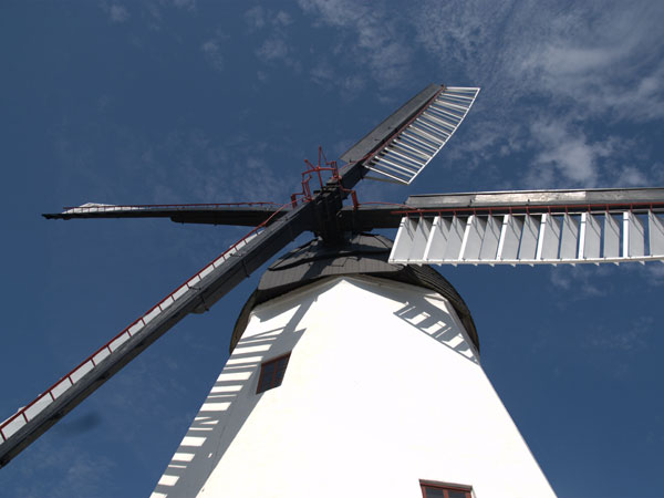
Past the campsite, the trail follows low but dramatic sea cliffs – archipelago-style scenery. Årsdale is a quiet settlement with a distinctive windmill and smokehouse. The old ice storage building houses Mikkeller – a bar and restaurant in an idyllic setting by the beach.
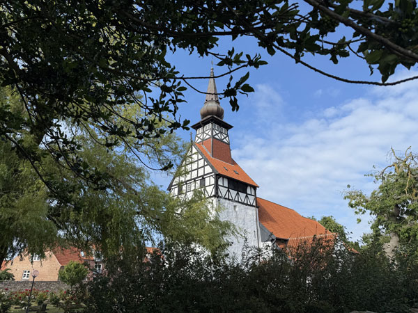
From Årsdale a gravel path follows the cliffs – in places you can walk directly on the rocks. Nexø is the island's second-largest town with its biggest fishing harbour. Nexø Museum, Café Holmer on the town square, Sommerlunden on the outskirts. From Nexø the cycle path leads south through the Balka Lyng heathlands.
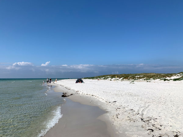
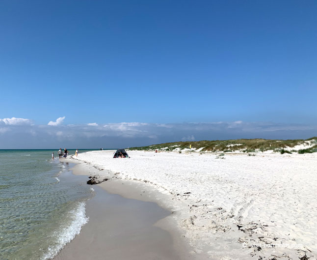
One of Bornholm's most popular beaches – kilometres of fine white sand and shallow water. On a good day, a swim is a must. From here the trail continues directly along the beach – the final 4 km to Snogebæk are walked on the sand along the sea.
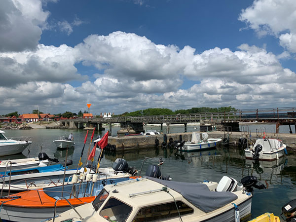
A charming fishing village on the south coast. Snogebæk Røgeri – a smokehouse and shop selling Bornholm specialities. For beer and live music: Sørens Værtshus – a legendary pub the locals simply call "Sørens".
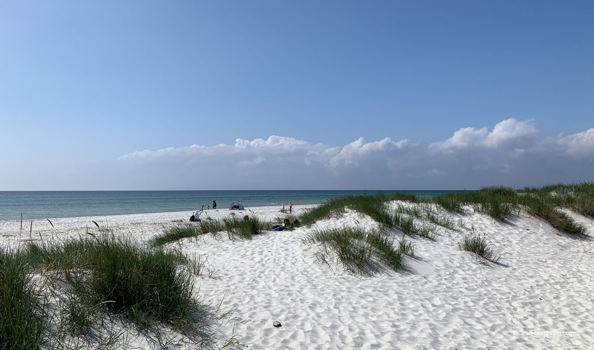 Balka Beach – kilometres of white sand and shallow water; the final 4 km of the stage are walked along the beach
Practical tips
Trail markings
Orange signs with a white hiker symbol. In Nexø pay attention to the signs – walking through town requires following signposts to the cycle path heading south.
Footwear and gear
Sports shoes are sufficient – flat terrain, gentle surfaces. Flip-flops come in handy at Balka Beach. Bring sunscreen and water.
Getting back to base
BAT bus from Snogebæk to Rønne or Nexø. More connections available from Nexø.
Swimming on the route
Balka Beach – a must-stop on a good day. Kilometres of white sand, shallow water, perfect for families.