Kyststien Stage 6 – trekking from Snogebæk to Boderne via Dueodde beaches
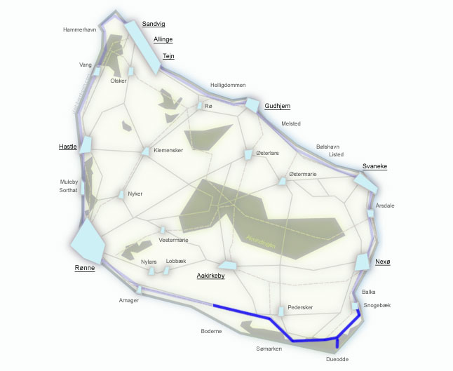
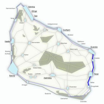
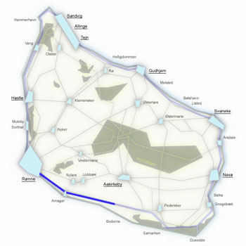
Beach, beach and more beach – 20 km along the southern coast of Bornholm. From Snogebæk through the famous Dueodde Beach with the finest sand in Europe, past the lighthouse and a Cold War spy tower, through the point where the 15th meridian crosses the 55th parallel, the cosy harbour of Østre Sømark, a military training area and pine forest to Boderne. A flat, easy stage – the perfect opportunity for a swim and some recovery.
Stage facts
Distance
20 km – from Snogebæk to Boderne along the southern coast
Walking time
5–6 hours – the longest stage of Kyststien
Surface
Mainly beach, forest paths through pine forest, trails and some asphalt. Flat terrain
Difficulty
Easy/Moderate – flat terrain, but the long distance and walking on sand tires the legs
Water and toilets
Snogebæk harbour, Dueodde car park, Jomfrugård, Østre Sømark harbour, Egilsholm, Boderne harbour
Parking
Snogebæk Røgeri or the car park at Boderne harbour
Route description
From Snogebæk heading west – along wide white beaches of the southern coast, through pine forest and a military training area to the cosy harbour at Boderne.
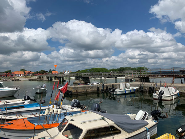
From Snogebæk harbour along the main road, then left onto Turistvej – follow the Kyststien signs to the entrance of Dueodde Beach.
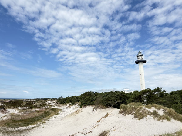
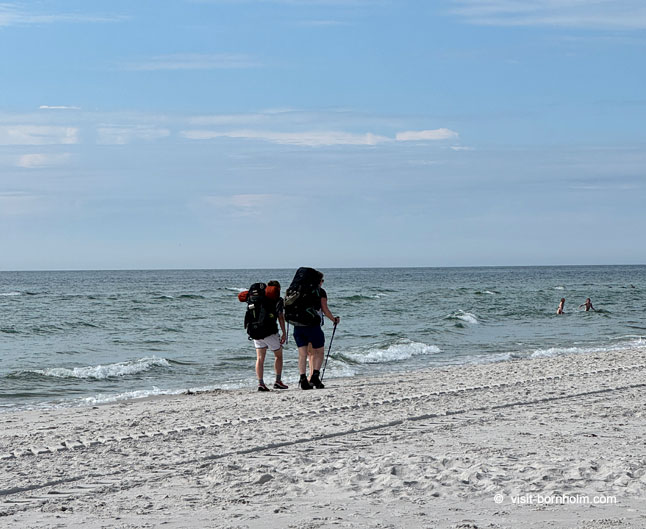
The famous beach with the finest sand in Europe – once used in hourglasses. The trail runs directly along the beach for about 6 km. It is worth making a detour to the Dueodde Fyr lighthouse (47 m) and Bornholmertårnet – a former Danish intelligence listening post from the Cold War era, now an open exploration centre.
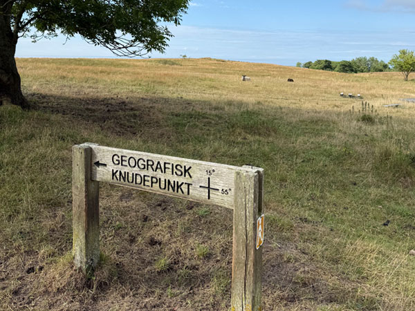
After 6 km of beach, the Kyststien signs lead up between the dunes to the former watermill Slusegård. Here you will find the geographical point where the 15th meridian east crosses the 55th parallel north – marked by a distinctive tile in the ground. A cartographic curiosity worth a photo.
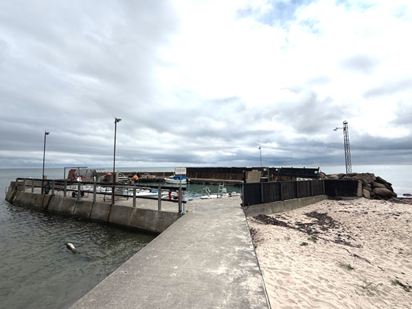
A tiny, cosy harbour on the southern coast. Beyond it, the trail returns to the beach until the boundary of the military training area Raghammer Skydeterræn.
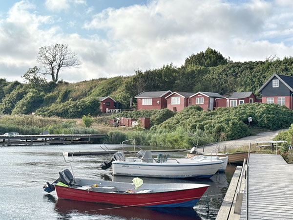
The trail leads through a pine plantation and along a gravel road past the military area, then straight to Boderne. Turn left downhill to reach the charming small harbour with atmospheric fishing huts on the southern coast. A peaceful ending to the longest stage.
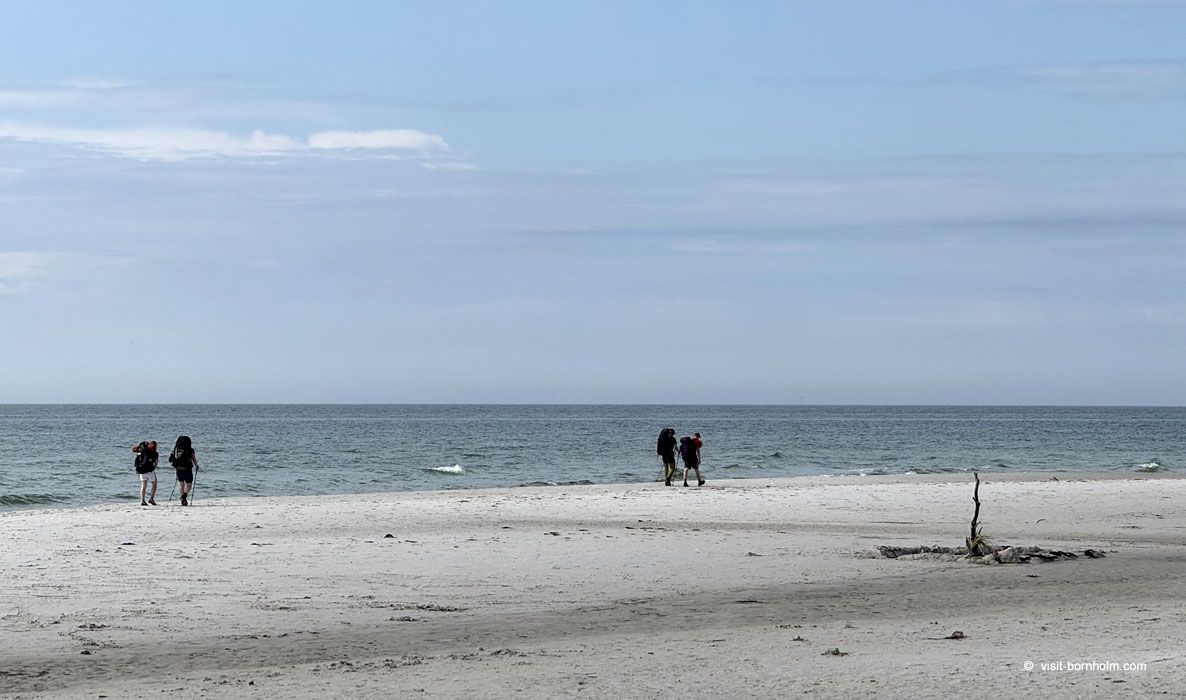 Dueodde Beach – 6 km walk on the finest sand in Europe
Practical tips
Waymarking
On Dueodde Beach the signs are less frequent – keep to the shoreline. After Slusegård watch for signs leading between the dunes and back to the beach.
Footwear and gear
Sports shoes are sufficient – the terrain is flat. Walking on sand tires the legs more than on a path. Sunscreen, at least 1.5 l of water – there is no shade on the long beach sections.
Getting back to base
BAT bus from Boderne to Rønne. Services are less frequent than from the northern towns – check the timetable.
Note
The longest stage (20 km) – plan your provisions and water. Between Østre Sømark and Boderne there are limited supply options.