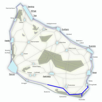
Kyststien Stage 7 – trekking from Boderne to Rønne along the south-west coast
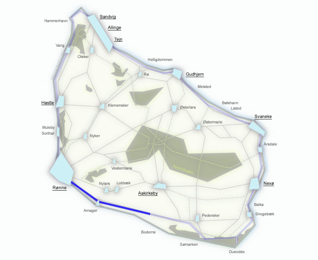
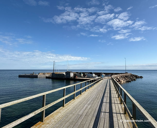
The seventh stage of the Kyststien trail leads from Boderne to Rønne through stony beaches, coastal forests and the south-west coastline of Bornholm. The route is approximately 19 km long and completes the full circumnavigation of the island. Along the way you can see Arnager with the longest wooden pier in Scandinavia, as well as quiet stretches of coastline near Bornholm Airport.
Stage facts
Distance
19.7 km – from Boderne to Rønne along the south-west coast
Walking time
4–5 hours – closing the 7-day loop
Surface
Flat terrain, but numerous steps up and down the bluff. Stony beach, forest paths and some asphalt
Difficulty
Varied – hard to Arnager (steps, stones), moderate to Galløkken, easy to Rønne
Water and toilets
Boderne, Arnager, Rønne
Parking
Parking at the harbour in Boderne or in Rønne
Route description
From the harbour in Boderne heading west – through stony beaches, steep bluffs and the fishing village of Arnager with its record-breaking pier, then around the airport and through pine forest to the finish in Rønne.
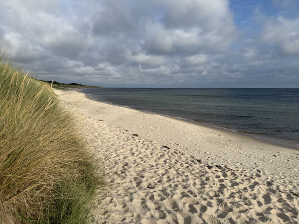
From the harbour in Boderne the trail sets off along the beach, then alternates between steps up the bluff and back down to the shore. You can also walk along the beach the entire way – stony, with soft sand – but you will almost certainly be alone here. This is one of the least-visited stretches of Bornholm's coastline.
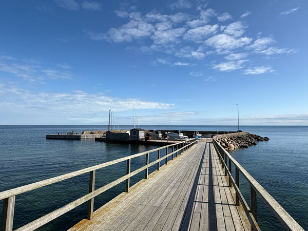
A few kilometres before Arnager there is a short section along a road, then through the forest straight to the fishing village. Arnager is famous for its 200-metre wooden pier – the longest over seawater in Scandinavia. You cannot miss it and it is well worth a walk along. Beyond Arnager the trail continues along the beach heading west.
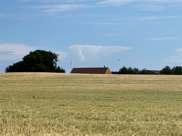
Beyond the beach, steep steps lead upward – here Bornholm Airport begins. The trail follows the fenced-off holiday cottage area of Stampen, winding along small gravel roads. Well signposted, though winding. Then a short stretch along a cycle path beside the road.
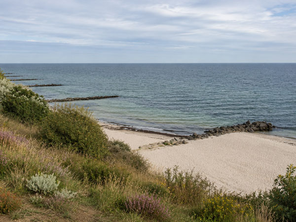
The last 3 km pass through pine forest and a coastal dune plantation to the popular Galløkken beach – the favourite bathing spot of Rønne's residents. A last chance for a swim before the finish.
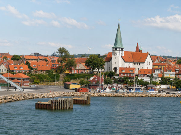
You enter Rønne at the cemetery on Skansevej, from where it is a straight walk to Bornholm Velkomstcenter on Nordre Kystvej. The loop is complete – 7 stages, ~120 km, all the way around Bornholm. Time for a well-deserved meal in the island's capital.
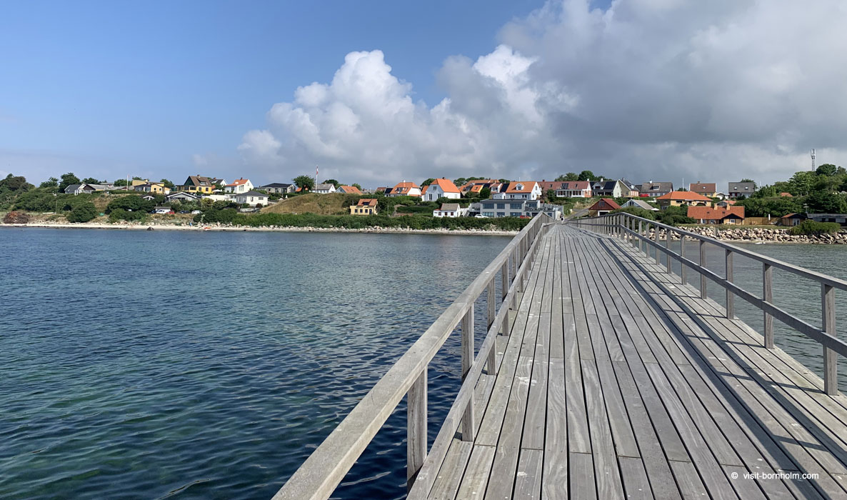 Arnager – 200-metre wooden pier, the longest over seawater in Scandinavia
Practical tips
Signposting
Orange signs with a white hiker. Near the airport and Stampen the trail is winding – watch for markers on small gravel roads.
Footwear and gear
Hiking boots for the first half (stony beach, steps, wet rocks). From the airport trainers are fine. Bring water – there are no supply points between Boderne and Arnager.
Getting to the start
BAT bus from Rønne to Boderne. After completing the stage you are already in Rønne – right by the ferry port.
Finish!
Closing the 7-day loop. From Velkomstcenter it is a short walk to the port – if your stay is ending, the ferry to Sassnitz or Ystad awaits at the harbour.