Cycle routes on Bornholm
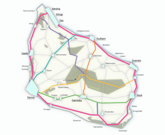
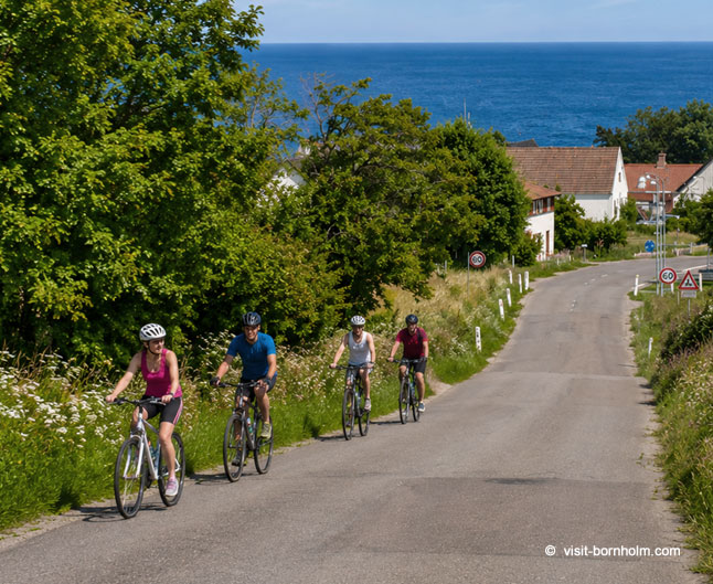
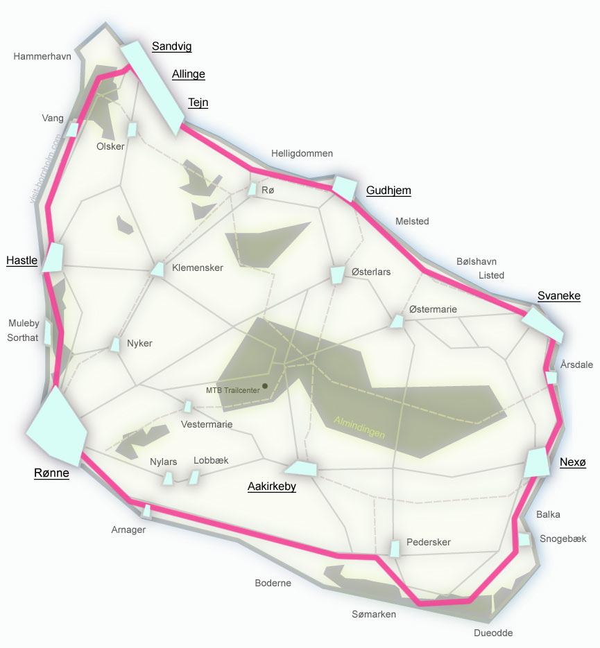
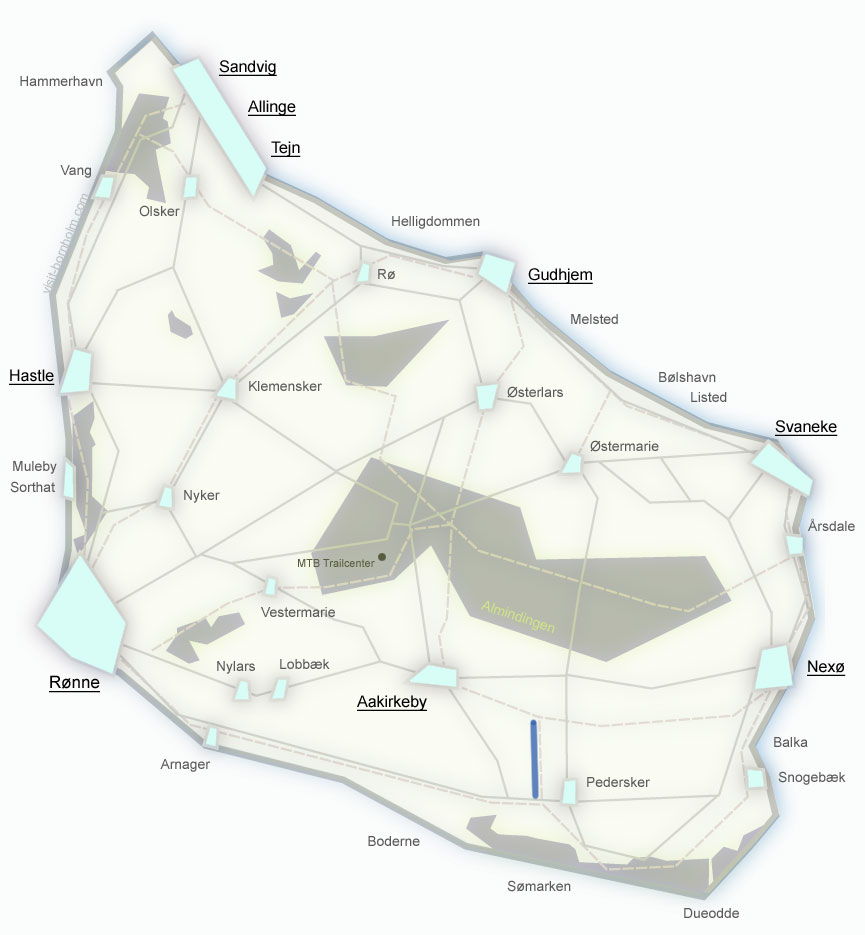
Over 230 km of signposted cycle routes: national route no. 10 around the island (104.5 km) and 6 regional routes through the interior. Green signs with a number and the word Cykelvej lead through forests, along the coast and on quiet roads away from traffic.
Route no. 10 – Bornholm Rundt
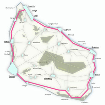
A loop around the entire island – 104.5 km of signposted cycle route passing through all of Bornholm's coastal towns: Rønne, Hasle, Allinge, Gudhjem, Svaneke, Nexø and Dueodde. A fit cyclist can complete it in 1 day (4–5 hours of riding), but it is well worth splitting the route into 4 comfortable stages of 20–30 km – this allows you to explore attractions, beaches and harbours along the way without rushing.
The northern section (stage 1) is hilly with gradients up to 22% – this is the most challenging but also the most scenic stretch, with cliffs and the Hammershus ruins. The south is flat, easy and relaxing. Mixed surface: most of the route is asphalt and paved paths, but sections in the north and east run on gravel and forest roads. Despite this, on a road bike you can avoid the gravel sections by using parallel asphalt roads – the route does not require leaving paved roads, although you lose some of the charm of the forest trails.
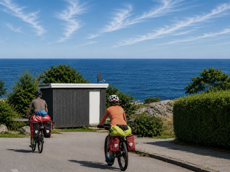
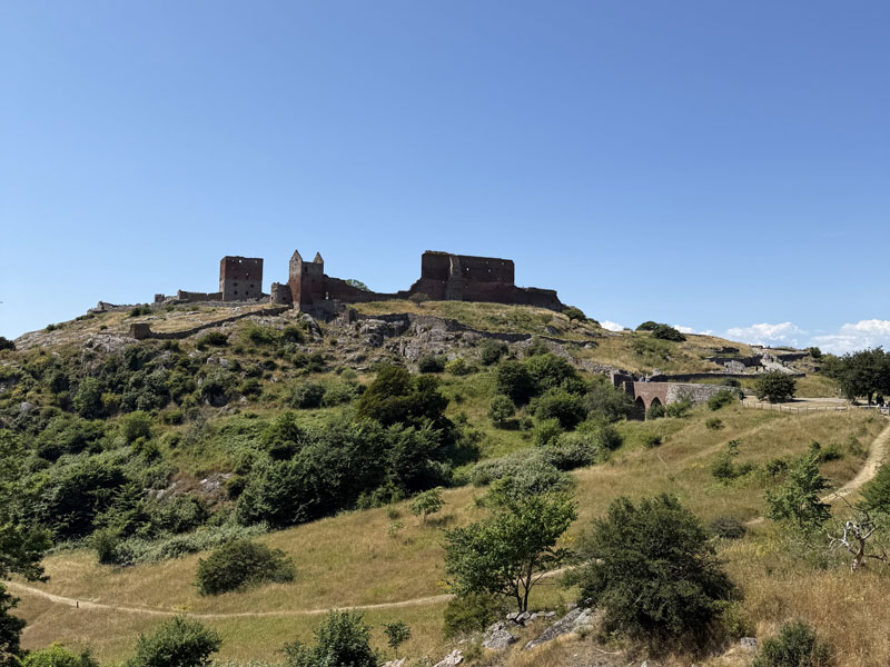
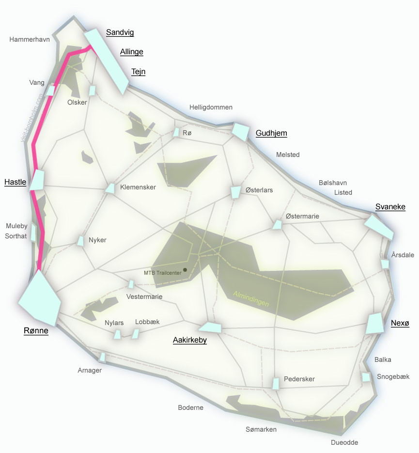
The most challenging stage. Through Hasle, Jons Kapel and the Hammershus ruins. Climb through Vang up to 22%. Asphalt and gravel.
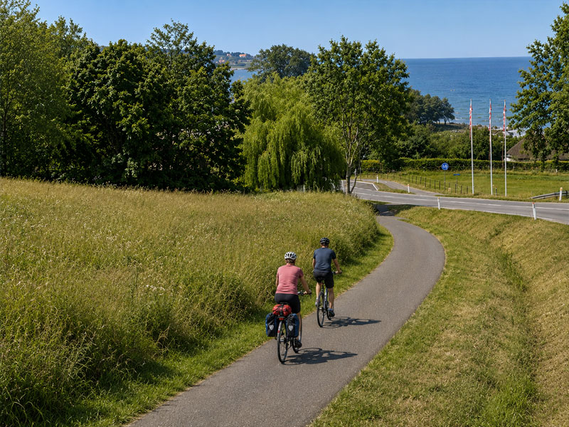
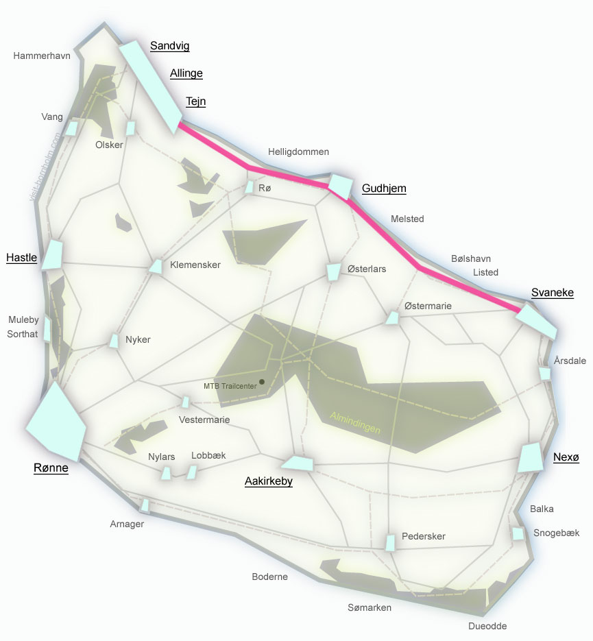
Picturesque eastern coast. Gudhjem, Listed, Helligdomsklipperne cliffs. Gentle climbs, mainly asphalt.
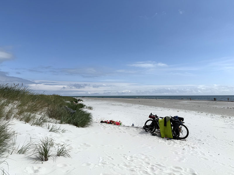
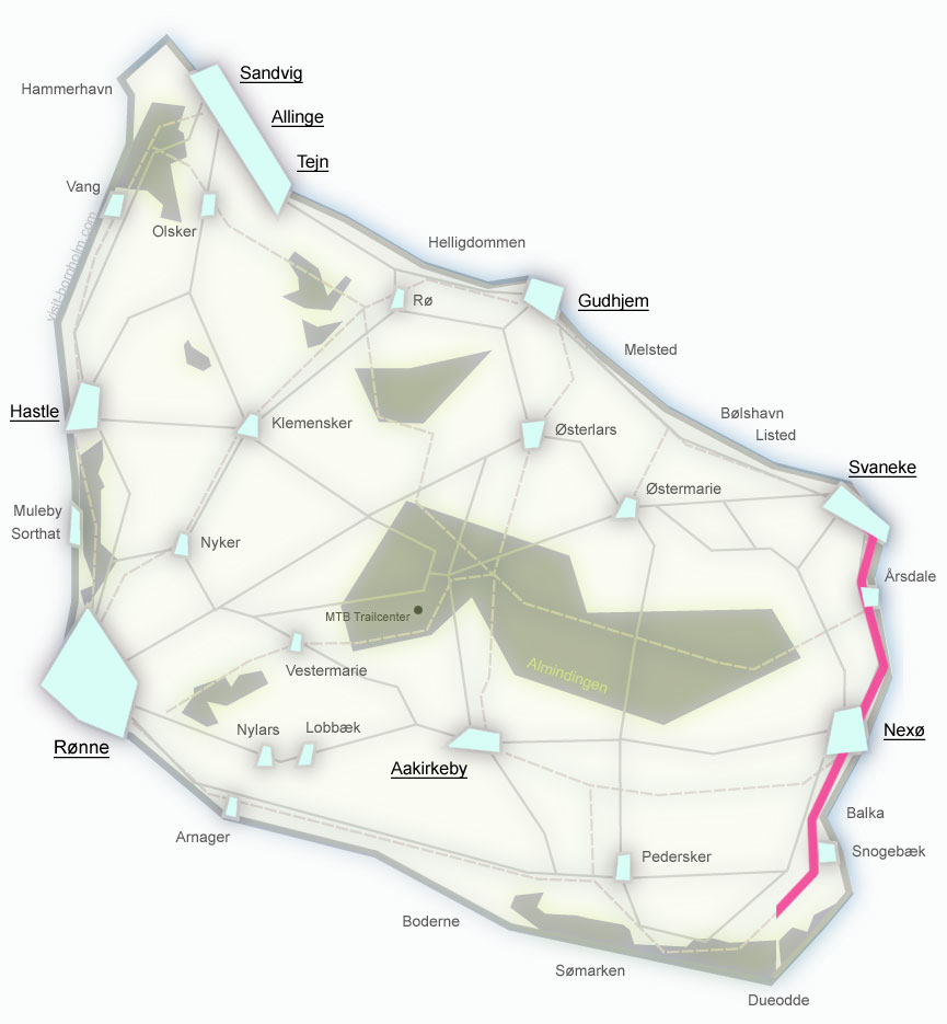
The shortest and easiest stage. Through Nexø to the sandy beaches of Dueodde. Flat terrain, mainly asphalt.
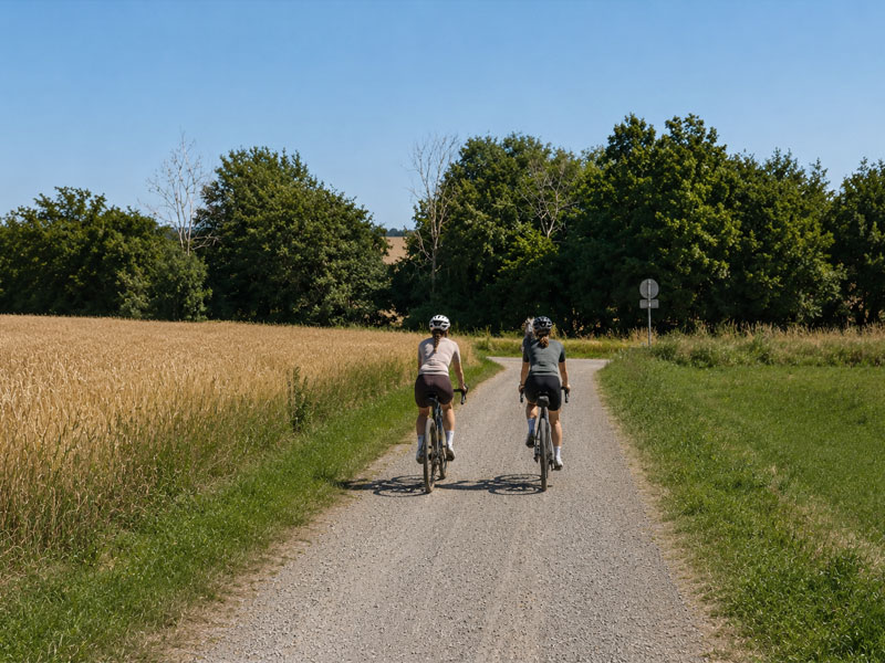
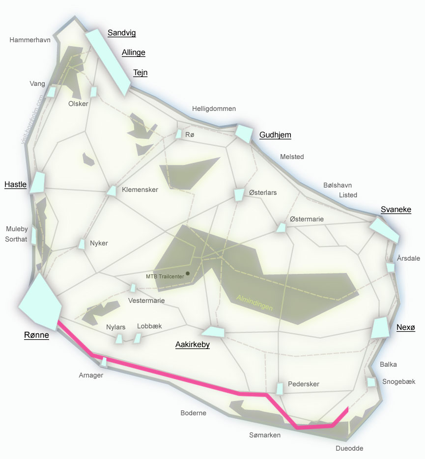
A relaxed finish to the loop. Through Pedersker, Aakirkeby and Nylars. Flat terrain, almost entirely asphalt.
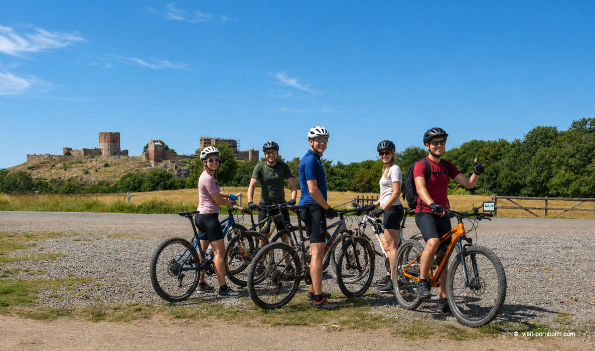 Cycle route along the cliffs and Hammershus
Regional routes 21–26
Six routes through the island's interior – forests, valleys, historic villages. They connect with route no. 10 and with each other, allowing you to plan trips freely.
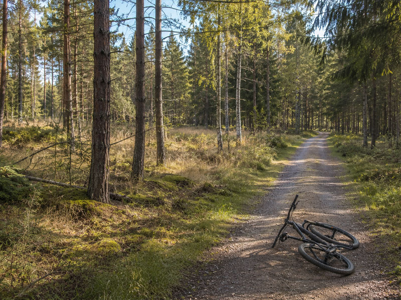
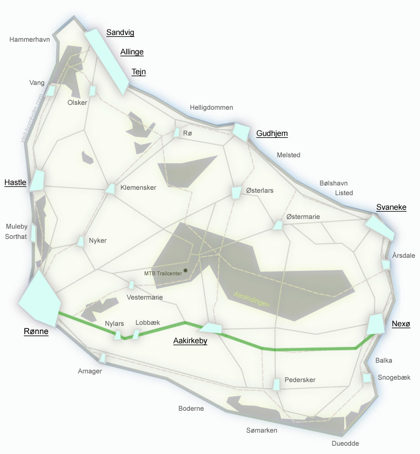
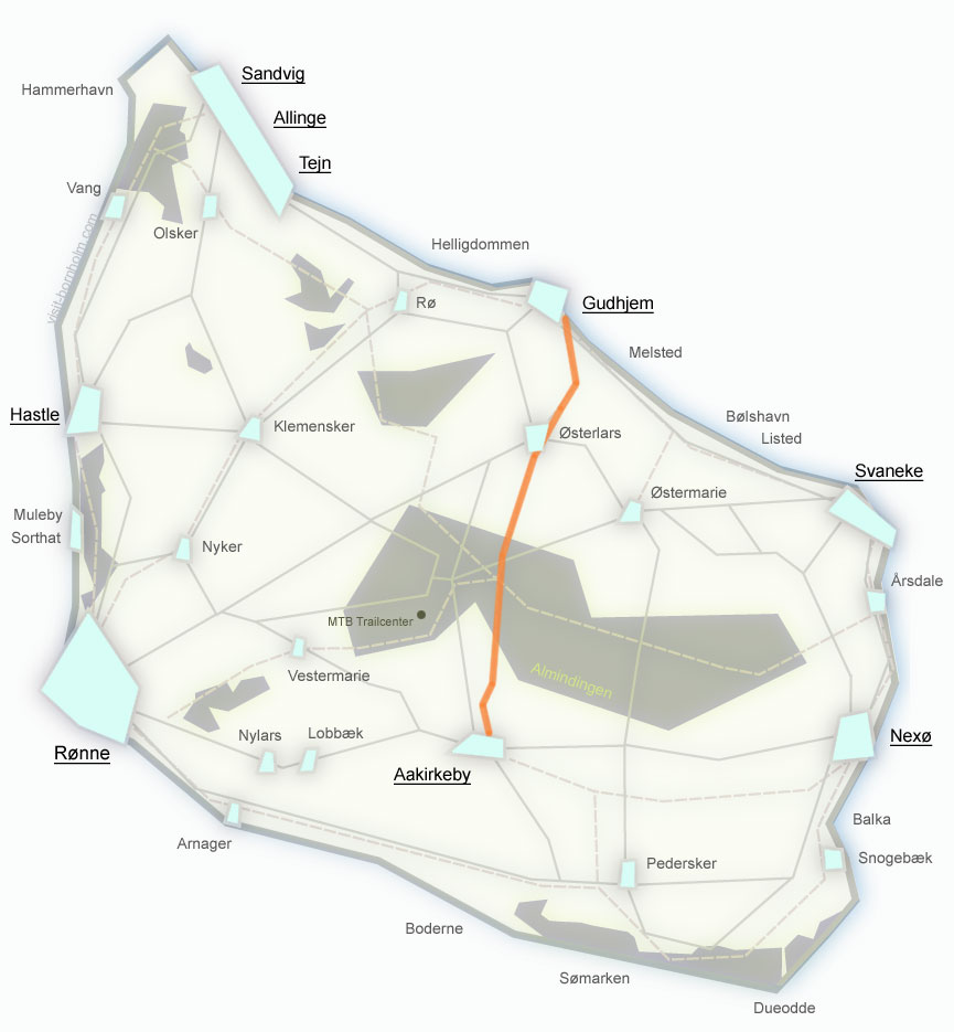
The shortest route between the two largest towns. From west to east through Aakirkeby and Almindingen forest.
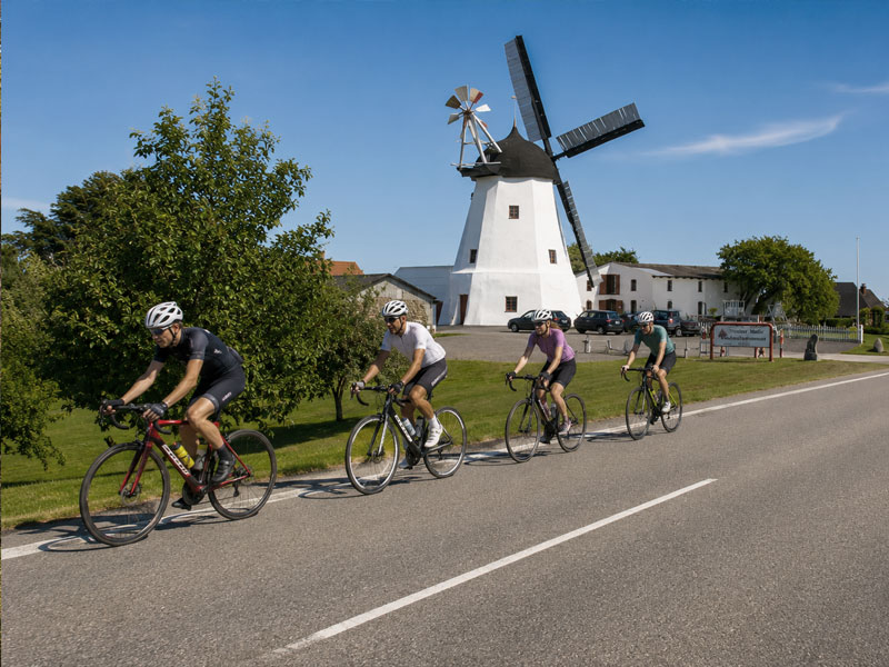
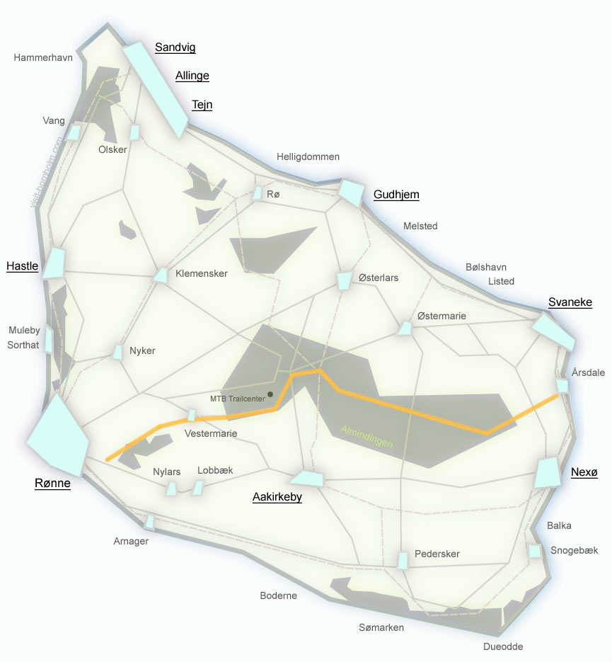
Through forests and the southern interior to the fishing harbour in Årsdale with its old windmill. Quiet roads.
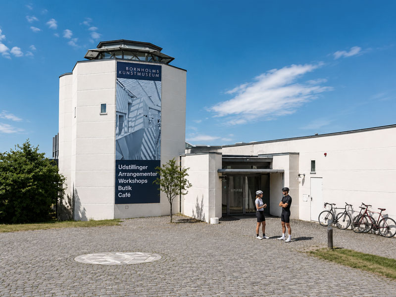
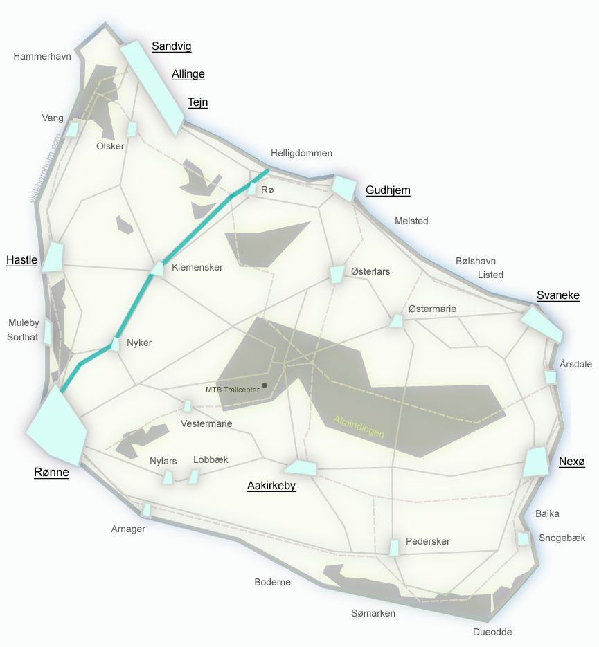
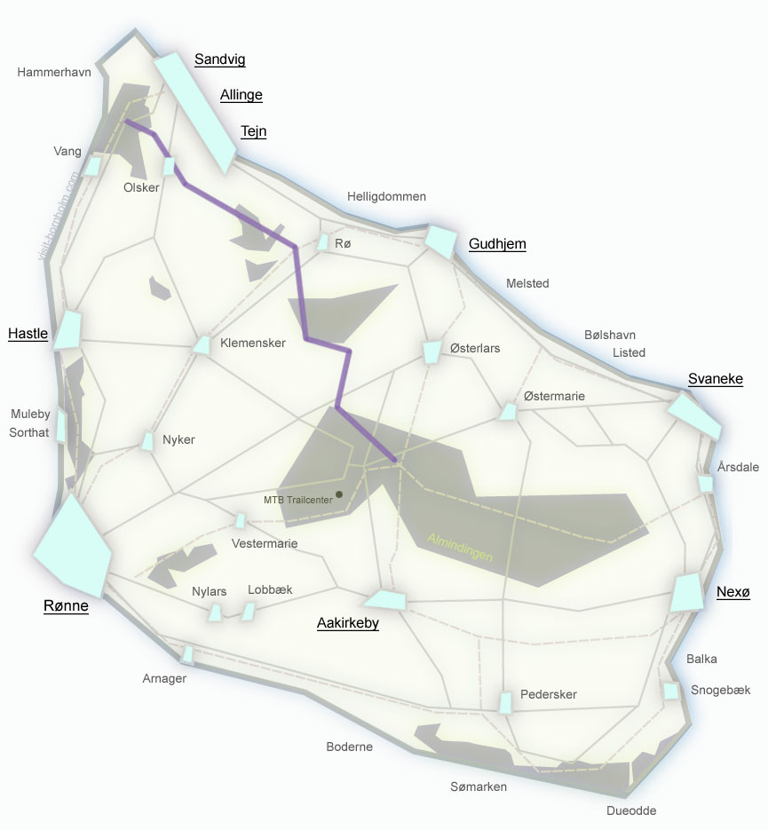
Along the northern coast to the Helligdomsklipperne cliffs and the Bornholms Kunstmuseum art museum. Short and scenic.
The shortest route on the island – a connector between routes in the south. Flat, asphalt, through fields and pastures.
From the eastern coast inland through the Paradisbakkerne hills to historic Aakirkeby with the Aa Kirke church.
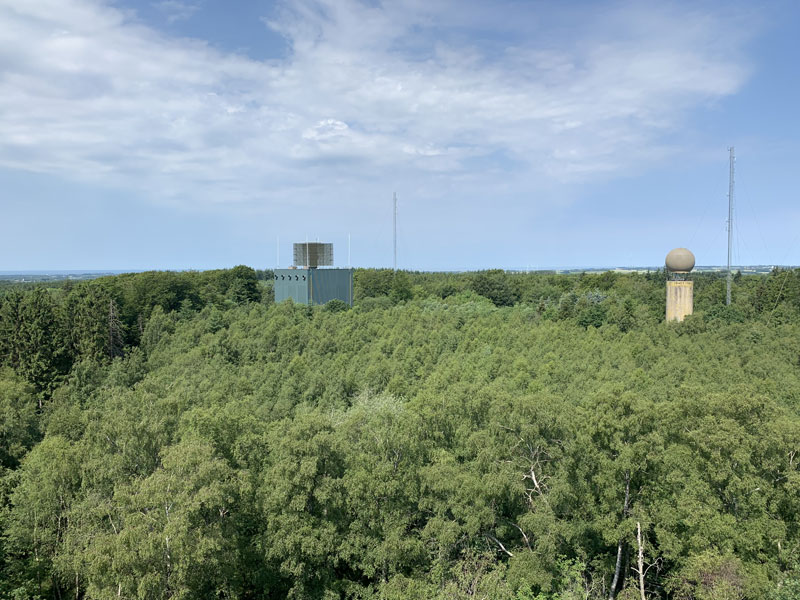
Through the heart of the island's largest forest. Observation tower at Rytterknægten (162 m a.s.l.) – Bornholm's highest point.
Practical information
Signposting
Green signs with the route number and the word Cykelvej. No arrow = go straight ahead.
Total length
230+ km of official routes – 1 national route (no. 10) and 6 regional routes (21–26).
Surface
Asphalt, gravel and forest roads. The south is mainly asphalt, the north has more gravel. A road bike can bypass the unpaved sections.
Bike rental
Rønne, Nexø, Gudhjem, Allinge – standard, electric and children's bikes. Book in advance during high season.
BAT buses
Carry bikes free of charge. A convenient option for one-way rides – return by bus.
Navigation
Maps.com and Komoot – offline navigation for all routes. GPX files available for download on route pages.
E-bike charging
Charging stations at hostels, campsites and service buildings located along the routes.
Bike service
Repair stations (pump, tools) along the main routes. Full service workshops in Rønne and Nexø.
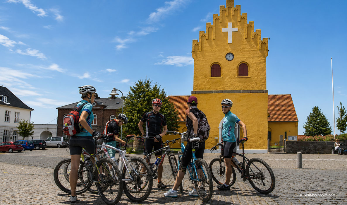 Cycling through Allinge-Sandvig
Route overview – choose yours