Route No. 25 – Melsted – Aakirkeby
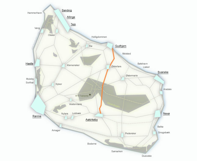
Regionalrute 25 runs from the seaside village of Melsted to Aakirkeby (18 km) – a varied and hilly route through the eastern interior of the island. Along the way you'll pass the 8-metre waterfall at Stavehøl, Denmark's largest round church in Østerlars, and ride through the mighty Almindingen forest with its European bison. Half of the route follows gravel forest paths.
Route facts
Length
18 km – from Melsted to Aakirkeby via Østerlars and Almindingen
Riding time
1 hour – without longer stops
Surface
Asphalt 8.6 km / gravel 9.4 km – half the route on forest paths
Difficulty
Moderate – uphill climb from the coast inland, gravel forest paths
Elevation gain
150 m – hilly route with climbs through Almindingen forest
Recommended bike
Trekking or gravel bike. Half the route is on gravel – road bikes are not recommended.
Connecting routes
Start at route 10 (coastline). Finish in Aakirkeby – connection with route 21 (Rønne–Nexø).
Return
From Aakirkeby by BAT bus to Gudhjem or Rønne (free bicycle transport).
Route – places along the way
From the seaside village of Melsted the route climbs through the Kobbeå valley, passes a waterfall and the largest round church, crosses Almindingen forest and ends in the medieval town of Aakirkeby. Below are the stops along the way.
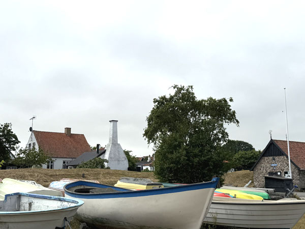
A small fishing hamlet south of Gudhjem with a cosy sandy beach stretching from the harbour to Melsted Badehotel. The route heads inland, climbing up through the Kobbeå valley.
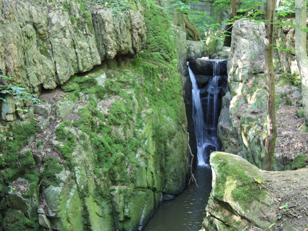
Stavehøl waterfall – an 8-metre waterfall hidden in a lush rocky crevice on the east coast. Water cascades down moss-covered rocks into a natural pool. It's well worth leaving your bike for a moment and taking the short trail down.
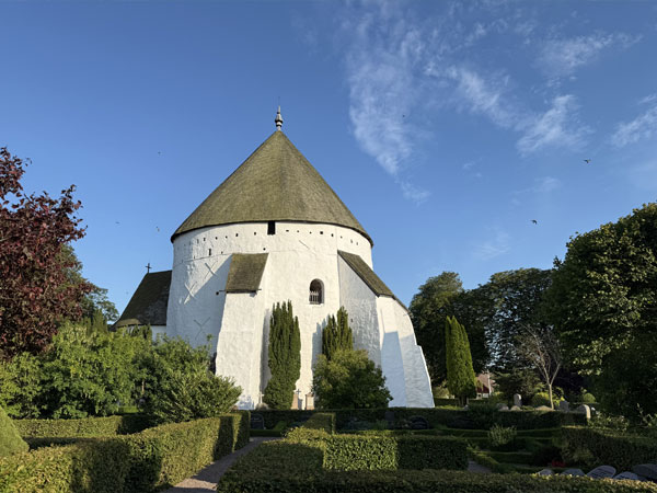
Østerlars Rundkirke – the largest and oldest round church on Bornholm and in all of Denmark. A massive, whitewashed building with a mighty central pillar, surrounded by a stone wall. Visited by around 120,000 guests each year – the most recognisable symbol of the island.
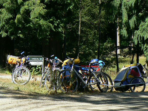
Almindingen – the fifth-largest forest in Denmark (6,000 ha). The route follows forest tracks from which you can easily detour to see European bison, racehorses, Rokkesten or Ekkodalen. The forest is wrapped in tranquillity and the scent of resin – a perfect spot for a picnic.
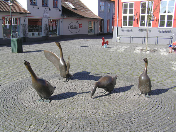
The former capital of Bornholm, home to one of the island's oldest churches – Aa Kirke. The nature centre NaturBornholm lets you experience a billion years of the island's geology – dinosaurs, rock crevices and interactive exhibitions. A perfect place to end the route.