Route No. 24 – Pedersker – Munkeleddet
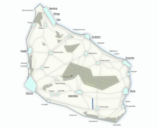
Regionalrute 24 is the shortest cycling route on Bornholm – just 2.6 km of asphalt road connecting Nationalrute 10 with Regionalrute 21. The route itself has no tourist attractions, but the area around Pedersker hides real gems: the island's oldest church (c. 1100), Bornholm's first vineyard, and the prehistoric ring fortress Rispebjerg.
Route facts
Length
2.6 km – the shortest cycling route on Bornholm
Riding time
15 min – a quick link between routes
Surface
Asphalt 2.6 km – entirely on an asphalt side road
Difficulty
Easy – flat terrain, no challenges
Elevation gain
30 m – virtually flat
Purpose
A connector between Nationalrute 10 (around the island) and Regionalrute 21 (Rønne–Nexø). It allows you to create your own route combinations.
Route and surroundings
Route 24 is a short connector, but the area around Pedersker offers several places worth visiting. Below are the start, finish, and attractions near the route.
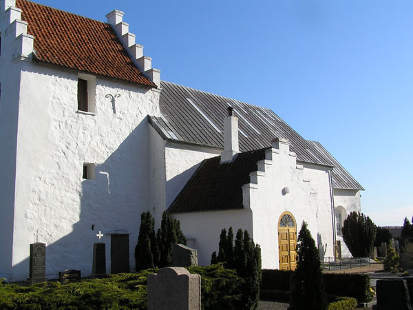
Pedersker Kirke – a church from c. 1100, likely the oldest on Bornholm, named after the apostle Peter. Nearby stands Kirkemøllen from 1861 – the oldest stone mill on the island. Pedersker lies at the junction of routes 10 and 24.
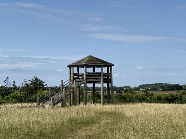
Junction with Regionalrute 21 (Rønne–Nexø). From here you can continue east to Nexø or west to Aakirkeby and Rønne.
Worth seeing nearby
Lille Gadegård Vineyard
Bornholm's first vineyard with 86,000 m² of vines. Guided tours with tastings of local wines. Known for the cola pig Øffe – the farm's mascot.
Rispebjerg
A prehistoric ring fortress – a sun temple from the Stone Age (c. 2000 BC) and an Iron Age stronghold. One of the most important archaeological sites on Bornholm.