Cycling on Bornholm – bike routes, tips and guide
Bornholm has long been considered one of the best cycling islands in the Baltic Sea region. Over 230 km of marked routes, short distances between towns and varied landscapes make the island ideal for both relaxed family rides and more sporty expeditions.
Why is Bornholm so popular among cyclists?
A large proportion of the routes are separated from car traffic – many sections follow former railway lines. The south of the island is flat and ideal for families, while the north is hillier with gradients up to 22%. Along the routes you'll regularly find rest areas, viewpoints and small villages.
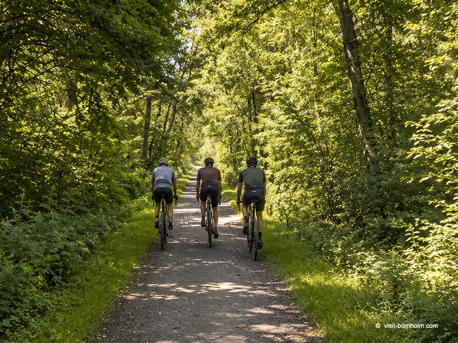
Cycle route signage
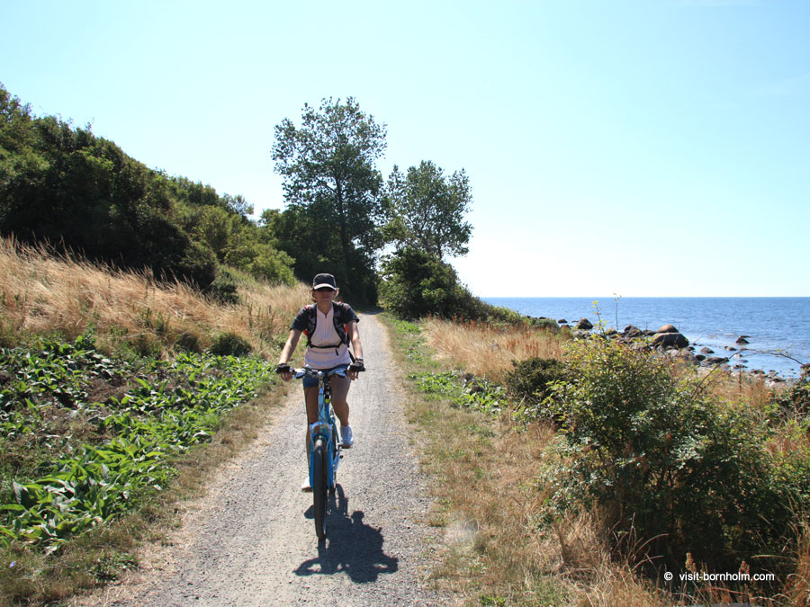
All cycling routes on Bornholm are marked with dark green signs reading Cykelvej and the route number. The signs indicate direction and distance to the nearest town. If a sign has no arrow – continue straight ahead. Surfaces vary: asphalt, gravel field roads, forest paths and grassy dirt tracks.
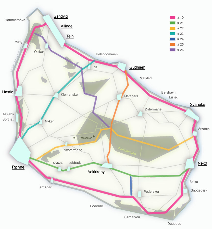
Cycling route network
Bornholm has one of the best cycling networks in Scandinavia. Routes lead through every corner of the island.
- 235 km of marked routes
- ⅓ of routes away from car traffic
- 1 national route + 6 regional
- MTB, gravel, road, e-bike
Route around Bornholm – Cykelvej No. 10
The most famous cycling route on the island – a trail leading around the entire island. It covers approx. 105 km and passes through all the main towns, fishing harbours, beaches and cliffs. An experienced cyclist can complete it in 4–5 hours non-stop, but it's well worth splitting it into stages. The official division is 4 stages:
Circling the island can be spread over 2–4 days. Many people plan the route to cover 30 to 60 km each day, leaving time for sightseeing, stops and rest by the sea.
Regional routes No. 21–26
Six regional routes connect the coast with the island's interior. They allow you to shorten your route, plan day trips or explore less-visited parts of Bornholm. They connect with route No. 10.
Recommended themed loops
Eight recommended loops – shorter rides starting and ending at the same point. They don't have their own signage on the signs but follow sections of national and regional routes.
Bornholm for families with children – Børneruten
The island works very well as a family cycling holiday destination. The official family route is a proposal for a 7-day trip – 112 km divided into 6 stages, with the last day for exploring Rønne.
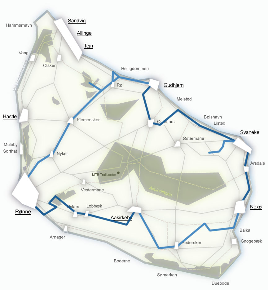
Børneruten – 7 days cycling with children
The route follows safe paths, away from car traffic. There's room to ride side by side and for bike trailers. The shortest stage is 6 km, the longest – 33 km. Along the way: round churches, Brændesgårdshaven amusement park, the Butterfly Park and NaturBornholm.
Particularly popular are also the routes in the south of the island, around Dueodde, Balka and Nexø – wide paths, quiet roads, easy access to beaches and food spots. Bike rental shops on Bornholm offer trailers, child seats and electric bikes.
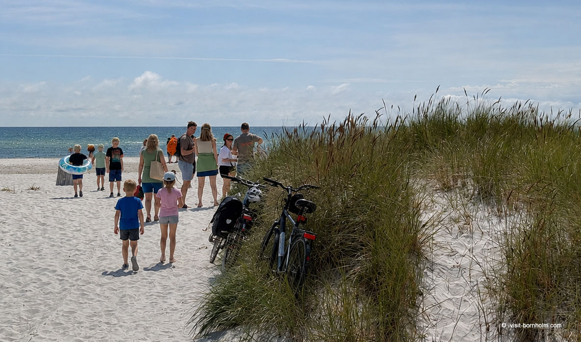 Family holidays by bike
MTB, gravel and more active riding
Bornholm attracts not only recreational tourists but also enthusiasts of more demanding trails.
Road cycling
The hilly roads of northern Bornholm have long attracted road cyclists. Steep climbs around Vang, Hasle Bakker and Paradisbakkerne provide a solid workout. Several road loops are available, including a Bornholm Rundt variant on public roads.
Mountain biking
TrailCenter Bornholm in Almindingen offers nearly 20 km of marked MTB trails – from green routes for beginners to black single tracks. The heart of the area is Rytterknægten (162 m a.s.l.), from where trails spread through rocky terrain. Green Ring near Rønne is 8 km with technical elements around former kaolin quarries.
Gravel
Several marked gravel loops: Almindingen Big Loop, Nordlandet Grande Loop, Klippeøen Rundt, Svaneke Loop and more. They combine asphalt with forest roads, gravel and roads through the island's interior.
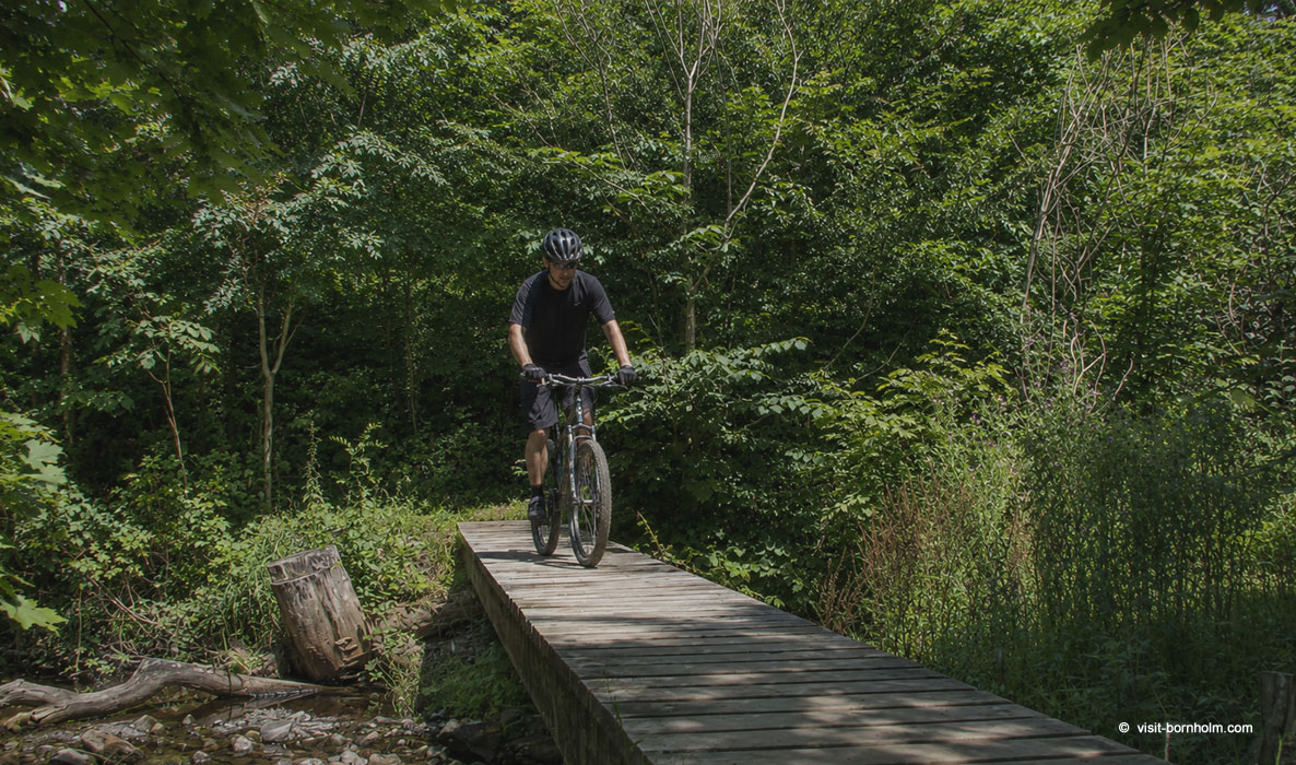 MTB on a forest trail, Bornholm
Terrain and difficulty level
The northern part of the island is more demanding – hilly terrain, climbs up to 22% on the Rønne–Allinge section through Vang. The southern part is gentler – flat terrain, wide sandy landscapes and easy asphalt sections ideal for families with children.
Example distances between towns
Short distances make planning easy:
| Route | Distance | Notes |
|---|---|---|
| Rønne → Allinge | 23 km | West coast, via Hasle |
| Rønne → Gudhjem | 25 km | Via Nyker and Klemensker or along the coast |
| Rønne → Nexø / Svaneke / Dueodde | 30 km | Via Aakirkeby (route 21) or coast (route 10) |
| Rønne → Aakirkeby | 16 km | Route 21, former railway, flat terrain |
| Allinge → Gudhjem | 18 km | North coast, via Tejn |
| Svaneke → Nexø | 10 km | Short asphalt section, route 10 |
| Svaneke → Gudhjem | 14 km | East coast, via Ypnasted |
Cycling infrastructure
Bornholm is well prepared for visiting cyclists. Larger towns have rental shops, service points and accommodation adapted for active tourists.
Bike rental
Trekking, mountain, city, electric bikes, trailers, child seats and tandems. Rental shops in Rønne, Allinge, Svaneke, Nexø and Aakirkeby. From approx. 100 DKK/day.
E-bike charging
Service buildings (servicebygninger) along main routes – battery charging, pump, tools and maps. Most rental shops offer a spare battery.
Trip preparation
Bring a spare inner tube, basic tools and a spoke key. Bike workshops operate on the island, but may have queues in season.
Luggage transport
Transport companies collect bags in the morning and deliver them to your next overnight stop. Details at the rental shop or accommodation.
How to get to Bornholm with a bike?
You can easily reach Bornholm by ferry with your own bike. Ferries to the island carry both pedestrian cyclists and those with bikes on car racks.
- Ferry via Ystad – from Świnoujście to Ystad (Sweden), then Bornholmslinjen ferry to Rønne (1 hr 20 min).
- Ferry from Sassnitz – direct ferry from Sassnitz in Germany to Rønne.
- Kombardo bus – from Copenhagen directly to Bornholm (ferry included in ticket). Bike for a surcharge (not available for e-bikes).
- DAT flight – from Copenhagen (35 min). Bike as special baggage. Summer flights from Billund, Aalborg and Aarhus.
On the island, BAT buses (local transport) carry bikes – you can shorten your route or return to base by bus.
Cyclist-friendly accommodation
Many accommodations hold the Bed+Bike certificate – a locked bike storage, pump and tools. On the island you'll find campsites, hostels (vandrerhjem), basic tent pitches (fri-camps and shelters), guesthouses and hotels. Accommodation is always nearby – distances between towns are typically 10–20 km.
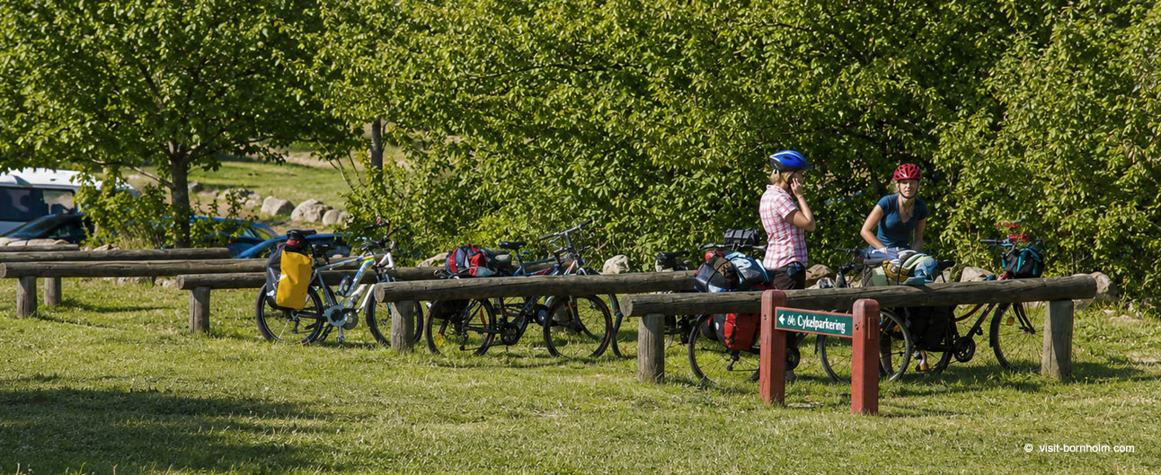
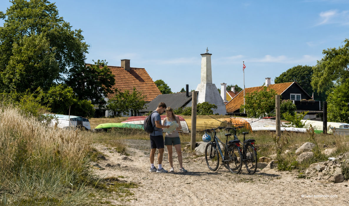 Bikes at the beach near Gudhjem
How to plan a cycling trip?
The best period is May–September. Summer is warmest with the longest days, but in spring and early autumn the routes are quieter and accommodation prices lower. Before your trip it's worth planning daily stage lengths, checking accommodation locations and taking weather and wind into account. Frequent stops at attractions and hilly sections can extend riding time.
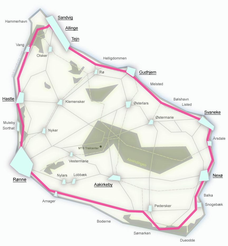
Plan your stages
Bornholm is best explored over 3–5 days. Here's a sample breakdown:
- Rønne → Allinge (25 km)
- Allinge → Svaneke (30 km)
- Svaneke → Dueodde (20 km)
- Dueodde → Rønne (30 km)
Around Bornholm in 5 hours or perhaps at a leisurely pace, in stages over 4 days? On the island you decide what your cycling adventure looks like – from a fast loop along the coast to unhurried discovery of beaches, towns and coastal routes.