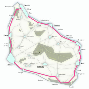
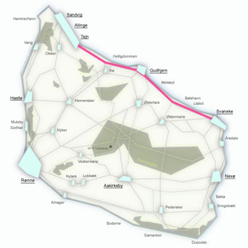
Route 10, Stage 1 – Rønne – Allinge
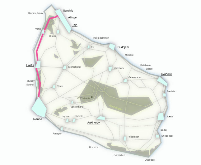
The first stage of the Bornholm Rundt route leads from Rønne to Allinge (24.8 km) along the island's west coast. This is the most varied section in terms of surface – a significant part runs on gravel and forest paths, and gradients reach up to 22%. Along the way, fishing hamlets, the mysterious Jons Kapel rock formation and the mighty ruins of Hammershus await.
Route facts
Length
24.8 km – from Rønne to Allinge along the west coast
Riding time
2 hrs 30 min – without longer stops
Surface
Asphalt 11.6 km / gravel 13.2 km – the most gravel-heavy stage of the entire route
Difficulty
Moderate / hard – climbs up to 22%, numerous gravel and forest sections
Elevation gain
210 m – the hilliest section of Bornholm Rundt
Recommended bike
Trekking, gravel or MTB. An e-bike is a great choice for the northern climbs.
Route – places along the way
The route heads north from Rønne through coastal forests, along the west coast to the rugged cliffs of Hammeren. Below are the stops from start to finish of the stage.
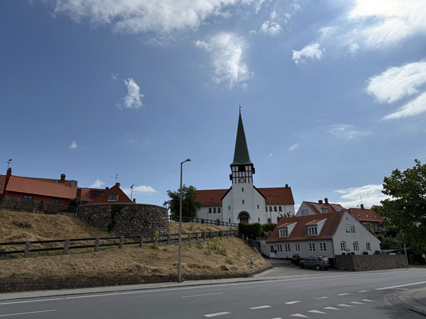
Stage 1 begins in the island's capital. Route 10 heads north, quickly leaving the town and entering Blykobbe Plantage forest. Just outside town lies Antoinette Beach – family-friendly, with fine sand and shallow water.
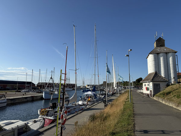
In Sorthat-Muleby on the way to Hasle, the former open-pit coal mine is worth a visit – today its clay pits have formed colourful lakes: Safirsøen, Smaragdsøen, Pyritsøen and Rubinsøen. Grønbechs Gård is an arts-and-crafts centre, and the harbour has a traditional fish smokehouse.
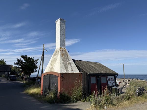
Two tiny, charming fishing villages on the west coast. Colourful houses huddle right above the sea. From Hasle, the route gives a foretaste of Bornholm's famous hills.
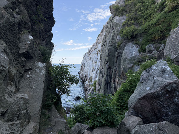
An impressive 40-metre rock rising above the sea. According to legend, the monk Jon preached from here to the seals. Get ready on the brakes – gradients on this section range from 10% to 22%!
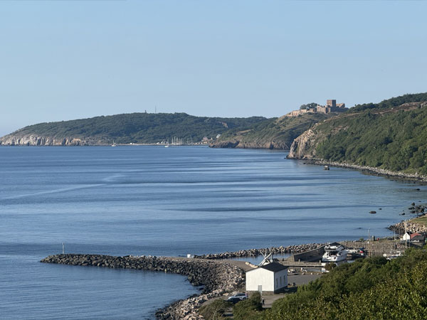
A peaceful village where time seems to stand still. Nearby lie Ringebakkerne – former granite quarries, partly protected as a nature reserve since 1970. Look out for Hammerhavn – a new harbour built from granite blocks.
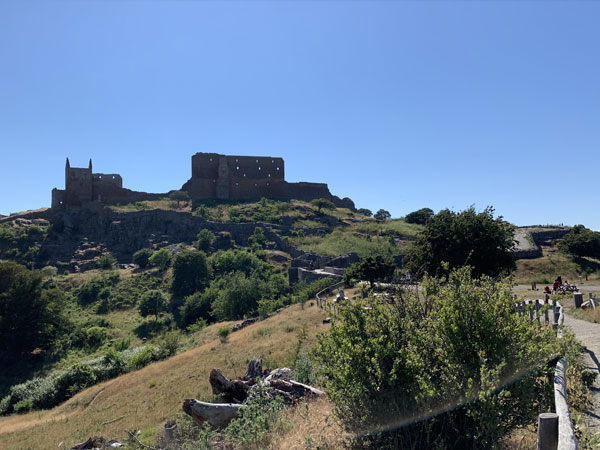
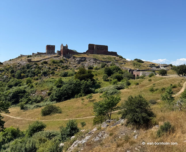
Past Slotslyngen it is worth leaving the route to visit the ruins of Hammershus – the largest medieval fortress in Northern Europe, perched on a cliff 74 m above the sea. The visitor centre is built into the rocky hillside and houses a fascinating exhibition on the castle's history.
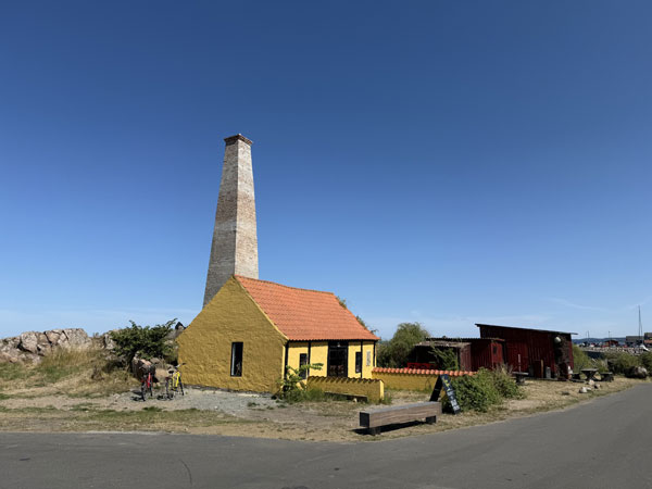
Picturesque old houses climb the rocky slope from the harbour. Together with neighbouring Sandvig, Allinge forms one of the main tourist centres of northern Bornholm – the perfect place to stay overnight before the next stage.