Route 10, Stage 2 – Allinge – Svaneke
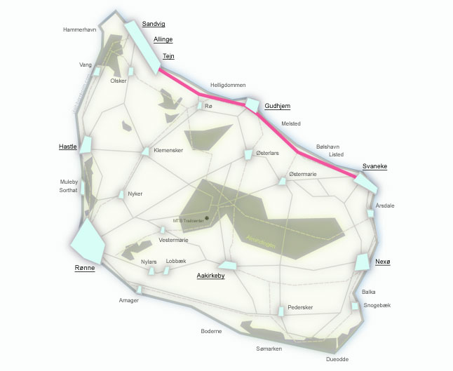
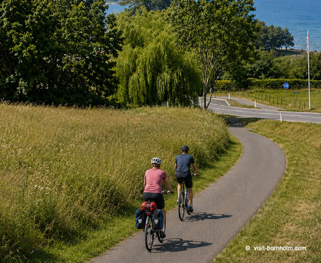
The second stage of the Bornholm Rundt route leads from Allinge to Svaneke (29.9 km) along the north-eastern coast. Almost the entire section runs on asphalt. Along the way you'll find scenic waterfalls, impressive cliffs, charming fishing harbours, and some of the most beautiful towns on Bornholm – Gudhjem and Svaneke.
Route facts
Length
29.9 km – from Allinge to Svaneke along the north-eastern coast
Riding time
2 hrs 30 min – without longer stops
Surface
Asphalt 29.4 km / gravel 0.5 km – almost entirely paved road
Difficulty
Moderate – gentle climbs, steep descent into Gudhjem
Elevation gain
270 m – hilly coastline with one steep descent
Recommended bike
Any – the route is almost entirely on asphalt. A road bike works perfectly.
Route – places along the way
The route follows the north-eastern coast of Bornholm – from Allinge through Gudhjem to Svaneke. Below are the stops from start to finish of the stage.
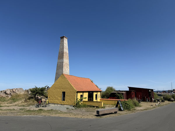
Stage 2 begins in Allinge – a popular tourist town on the north of the island. The route heads east along the scenic, rocky coastline towards Gudhjem.
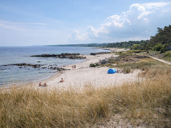
Sandkås and Tejn have over the years merged into one town, known for its excellent swimming beaches. In Tejn it's worth stopping for street food, local craft beer and fresh bread. A great spot for the first break.
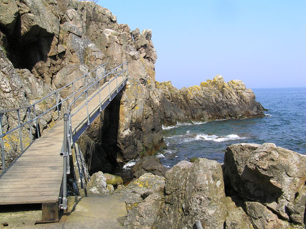
Døndalen is one of the largest rock crevices on Bornholm, featuring the highest waterfall in Denmark – water cascading from 20 metres. The gorge is covered in lush vegetation, creating a fairy-tale landscape. A little further on lies Helligdomsklipperne – some of the most famous rock formations on the island, visible from Bornholms Kunstmuseum.
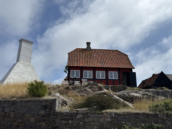
The only "mountain" town in Denmark – colourful houses climb a steep hillside above the harbour. Smokehouses serve the famous Sol over Gudhjem. From the harbour a ferry runs to the fortress island of Christiansø. The descent into town is steep – get your brakes ready!
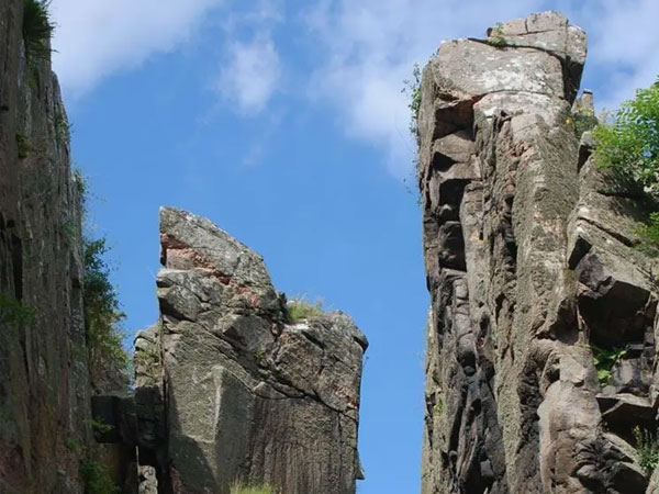
An impressive rock crevice – 50 metres long, just 3 metres wide. Along the way lies the quiet beach at Kobbeå. Watch out for the Ypnasted hill – its steep gradient is a challenge even for locals!
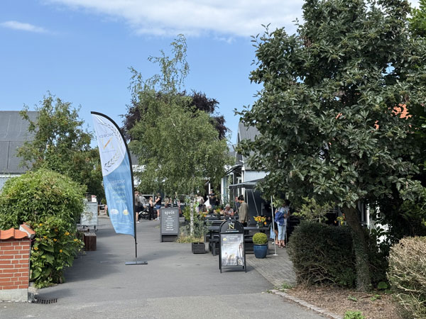
Denmark's easternmost town, awarded the European Gold Medal for preserving its historic character. It delights visitors with picturesque architecture, atmospheric streets and a vibrant harbour. Known for brewing, craftsmanship and excellent restaurants.