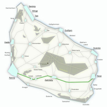
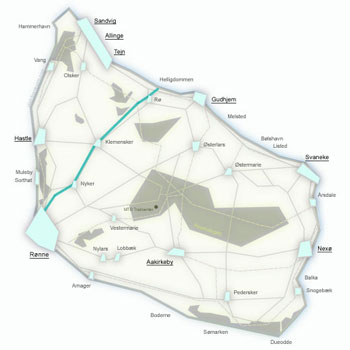
Route No. 22 – Robbedale – Årsdale
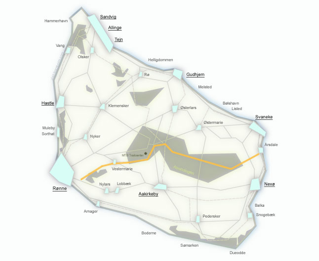
Regionalrute 22 leads from Robbedale (near Rønne) to the fishing village of Årsdale (33 km) through the very heart of the island – Almindingen and Paradisbakkerne. It is Bornholm's most "forested" route, with a large proportion of gravel paths. Along the way you will find the island's highest point, a fairy-tale echo valley, European bison, and the famous Rokkesten – a rocking stone.
Route facts
Length
33 km – from Robbedale to Årsdale via Almindingen and Paradisbakkerne
Riding time
2 hrs – without longer stops
Surface
Asphalt 16.3 km / gravel 16.7 km – half of the route on forest paths
Difficulty
Moderate – climb to Rytterknægten (162 m a.s.l.), lots of gravel and forest paths
Elevation gain
220 m – hilly route with climbs through the forest
Recommended bike
Trekking, gravel or MTB. A road bike is not recommended due to 17 km of gravel.
Route character
Forest and nature – Almindingen (Denmark's 5th-largest forest, 6,000 ha) and Paradisbakkerne (heathlands, rock crevices).
Return
From Årsdale by BAT bus to Rønne (free bike transport) or connect with route 10 along the coast.
Route – places along the way
The route passes through Bornholm's green heart – from Robbedale through the vast Almindingen forest, the spectacular Paradisbakkerne, all the way to the fishing village of Årsdale on the east coast. Below are the stops along the way.
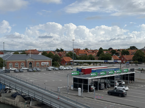
Start just outside Rønne in Robbedale. The route quickly leaves the built-up area and follows side roads between fields towards the island's largest forest.
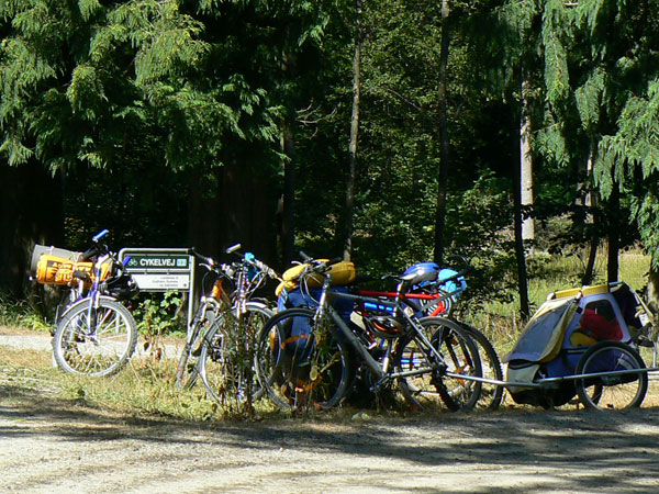
Almindingen – Denmark's fifth-largest forest (6,000 ha), once known as "everyone's property" (Alle Mands Eje). At the heart of the forest lies the Christianshøj inn. From here you can visit the herd of European bison reintroduced to the island. It is well worth cycling the trail to Rytterknægten (162 m a.s.l.) – Bornholm's highest point with an observation tower offering views of Christiansø and Sweden on clear days.
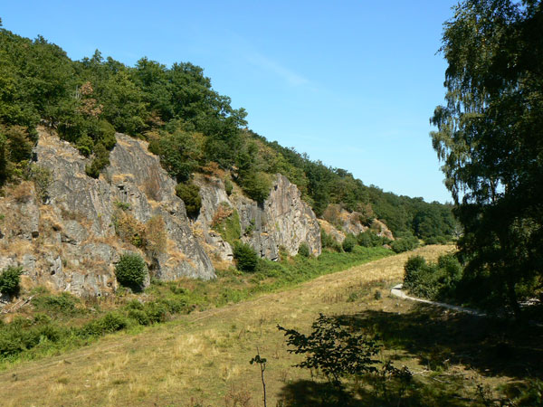
Ekkodalen (Echo Valley) – Bornholm's largest rock crevice, stretching about 2 km through the forest. The walls of the gorge reflect sound, producing a distinct echo – hence the name. Nearby hiking trails offer a chance to spot European bison from the local breeding programme.
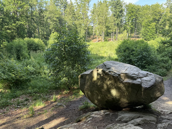
Paradisbakkerne (Paradise Hills) – spectacular heathlands, rock crevices, forest and granite formations in eastern Bornholm. It is worth leaving your bike to visit the famous Rokkesten – a multi-tonne boulder that can be gently rocked by hand. One of the island's most remarkable spots.
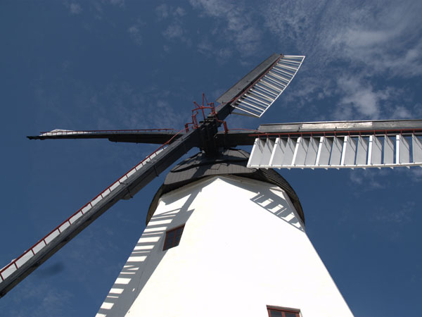
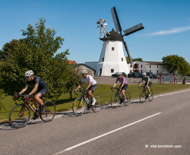
A charming fishing village with its iconic windmill and harbour. The perfect place to end the route – fresh beer from the local microbrewery, smoked fish and an authentic maritime atmosphere. The descent into Årsdale is a pleasant ride down the last hills.