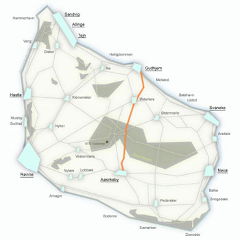
Route No. 26 – Slotslyngen – Almindingen
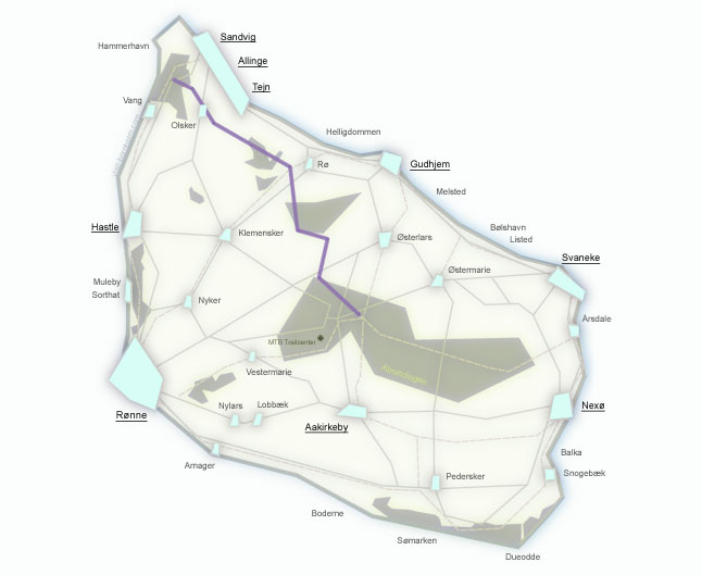
Regionalrute 26 runs from Slotslyngen to Almindingen (24.5 km) – a hilly route through some of the wildest and most unique natural areas of Bornholm. From the heathlands below Hammershus, through the rocky crevasses of Ravnedal, past the island's tallest round church, the fairytale wetlands of Spellinge Mose and forested Rø Plantage, all the way to the mighty Almindingen with Ekkodalen. Mostly on gravel forest roads.
Route facts
Length
24.5 km – from Slotslyngen to Almindingen via Olsker and Rø Plantage
Riding time
1 hr 30 min – without longer stops
Surface
Asphalt 7.9 km / gravel 16.6 km – mostly forest and field gravel roads
Difficulty
Moderate – hilly route with climbs, lots of gravel and isolated sections
Elevation gain
240 m – one of the hilliest routes on the island
Recommended bike
Gravel or MTB. Road bike strongly not recommended – 2/3 of the route is on gravel and forest paths.
Route character
Wild and nature-focused – heathlands, rocky crevasses, wetlands, forests. The most "remote" route on Bornholm.
Connecting routes
Start at route 10 (Slotslyngen near Hammershus). Finish connects to routes 22 and 25 in Almindingen.
Route – places along the way
From the wild heathlands below Hammershus, the route heads south through some of the most beautiful and isolated natural areas of Bornholm, all the way to the heart of the island's largest forest. Below are the stops along the way.
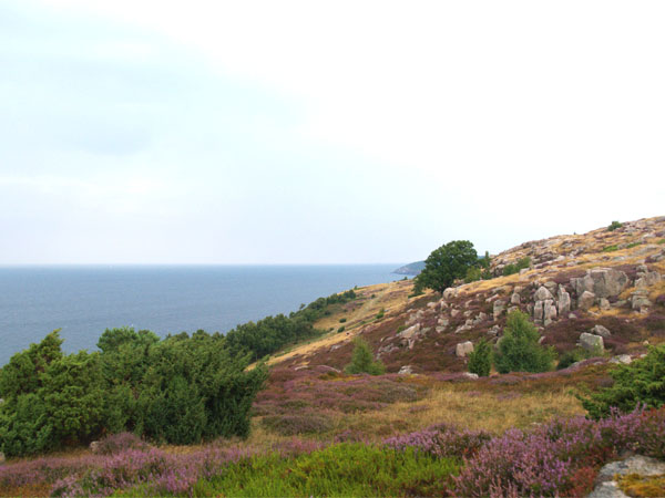
Slotslyngen – a vast area of heathlands, rocks, forest and wetlands stretching from Vang to Hammershus. A wild, varied landscape with views of the sea and the fortress ruins. From here the route heads south inland.
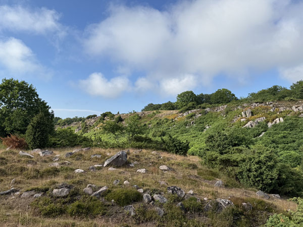
Ravnedal (Raven Valley) – a beautiful, hilly rocky crevasse with unique nature and historical remains. One of the lesser-known but most beautiful spots in northern Bornholm. Lush ravines and granite formations.
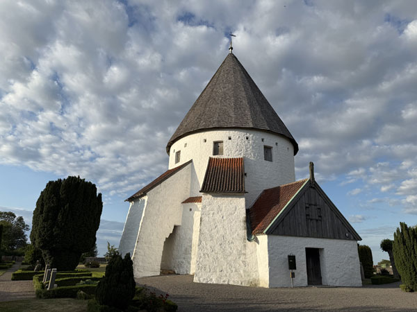
Ols Kirke – the tallest (28 m) and most elegant of Bornholm's four round churches. Its slender silhouette is visible from afar above the village rooftops. Unlike the massive Østerlars, this round church impresses with its soaring form.
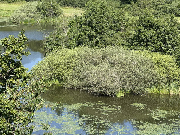
Spellinge Mose – wetlands rich in birdlife and wildlife. A former peat bog, now a protected nature area. The route passes through a lush green ravine – the same section that on route 23 is called the most beautiful cycling path in Denmark.
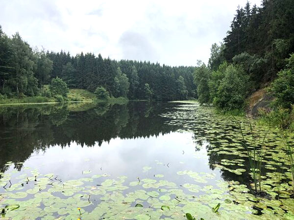
Rø Plantage – a forest with spectacular scenery of rocky crevasses, steep slopes and the man-made lake Borgedalssøen. Worth a detour to the viewpoint at Sigtevej or a loop around the lake – a scenic hiking trail through dramatic terrain.
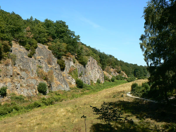
Finish at the famous Ekkodalen (Echo Valley) – Bornholm's largest rocky crevasse, stretching approx. 2 km through Almindingen forest. The walls of the ravine create a natural echo. Nearby you'll find a herd of European bison and the Christianshøj inn. From here, connections to routes 22 and 25.