Kayaking on Bornholm – calm bays and cliff coastline from the water
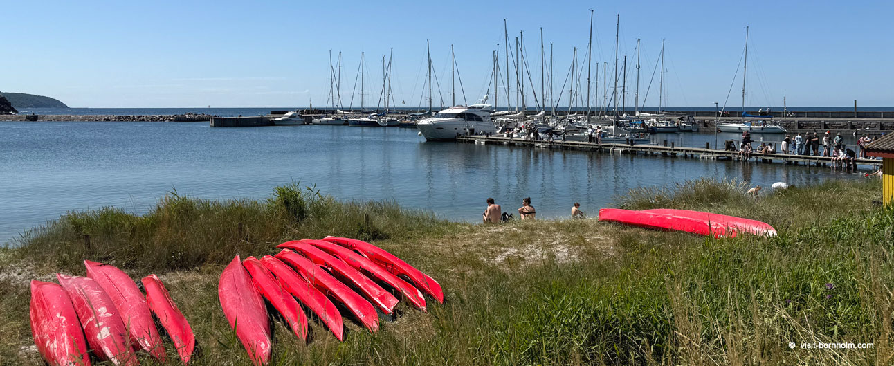
Bornholm is one of the best places in Denmark for sea kayaking. Along 110 km of coastline you'll find vertical granite cliffs, hidden fishing harbours, sea caves, sandy coves and skerries on the east coast that resemble the Swedish archipelago. Each section has its own character – from the gentle sandy beaches of the south to the dramatic vertical rock walls of the north. And when the wind changes, it only takes 20 minutes to find a sheltered stretch of coast on the other side of the island.
Bornholm's coastline by kayak
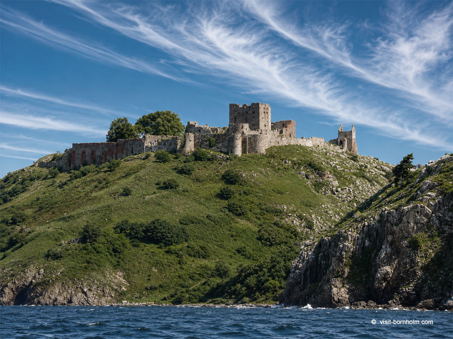
Each side of the island offers a completely different paddling experience. The north and west are dominated by vertical cliffs – in places over 20 metres above the water – with caves, waterfalls and views of the Hammershus ruins. The east coast features "Bornholm's skerries" – rocky islets, natural harbours and small coves between Gudhjem and Svaneke. To the south, the wide sandy beaches of Dueodde stretch out with dunes and shallow water.
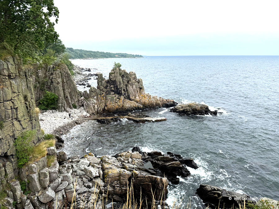
Around Bornholm – 110 km by kayak
The loop around the entire island covers 110 km of varied coastline. The route can be completed in 3–5 days with overnight stays in harbours, on beaches or in coastal shelters. Direction – clockwise or counter-clockwise – depends entirely on the current wind.
The route is accessible for kayakers with intermediate experience, although sections along the northern cliffs (especially Jons Kapel → Hammerknuden) in westerly wind may require advanced skills – the vertical walls generate reflected waves that can be demanding.
Around Bornholm – facts
- Distance: approx. 110 km
- Duration: 3–5 days (depends on pace and conditions)
- Level: Intermediate to advanced
- Direction: Either way – depends on wind
- Accommodation: Harbours, shelters, campsites, beaches
Skærgårdsruten – the skerry route
The most famous kayaking route on Bornholm runs along the northern and north-eastern coast – from Helligpeder (north of Hasle) to Melsted (south of Gudhjem). It covers approx. 32 km of dramatic landscape that is hard to see from land.
Route stages
| Section | Distance | Character |
|---|---|---|
| Helligpeder → Hammerhavn | approx. 9 km | Vertical cliffs, Våde Ovn cave, view of Hammershus |
| Hammerhavn → Kampeløkken | approx. 6.7 km | Hammerknuden – headland with reflected waves in W wind |
| Kampeløkken → Bådsted | approx. 7.9 km | Small sandy bays, Stammershalle, standing stones |
| Bådsted → Melsted | approx. 8.8 km | Helligdomsklipperne, Gudhjem, fishing harbours |
Along the way it's worth slowing down and paddling 2–3 m from the cliffs – details hidden in the rocks are only visible up close. On the route you pass Jons Kapel (sea caves), Löve- og Kamelhovederne (rock formations below Hammershus), Helligdomsklipperne with the art museum on top, and "Mågestolene" west of Gudhjem.
Other popular routes
South coast – Balka → Dueodde → Arnager
A route for beginners and families. Wide sandy beaches, shallow water, gentle conditions. Easy entries and exits along the entire stretch. Beautiful Dueodde dunes along the way. A great option for a calm day with children.
South coast
- Distance: Flexible – from a few to approx. 25 km
- Level: Easy
- Water entries: Many – sandy beaches along the entire section
Svaneke → Hullehavn → Listed
The rocky east coast – hidden harbours, naturally carved coves and cliffs. Hullehavn is a miniature natural harbour you enter through a narrow passage between rocks. More demanding than the south, but extremely scenic.
Svaneke → Listed
- Distance: approx. 8–10 km
- Level: Intermediate
- Unfavourable wind: E, NE
Christiansø – open sea expedition
The kayak crossing from Bornholm to Christiansø (approx. 18 km one way) is one of the greatest kayaking challenges in Danish waters. Open sea, no shelter, variable currents – a route exclusively for experienced kayakers in good weather conditions. On arrival, a fortress archipelago, rocky shores and a unique atmosphere await.
Crossing to Christiansø
- Distance: approx. 18 km one way (open sea)
- Level: Advanced
- Notes: No shelter en route, variable currents, good forecast essential
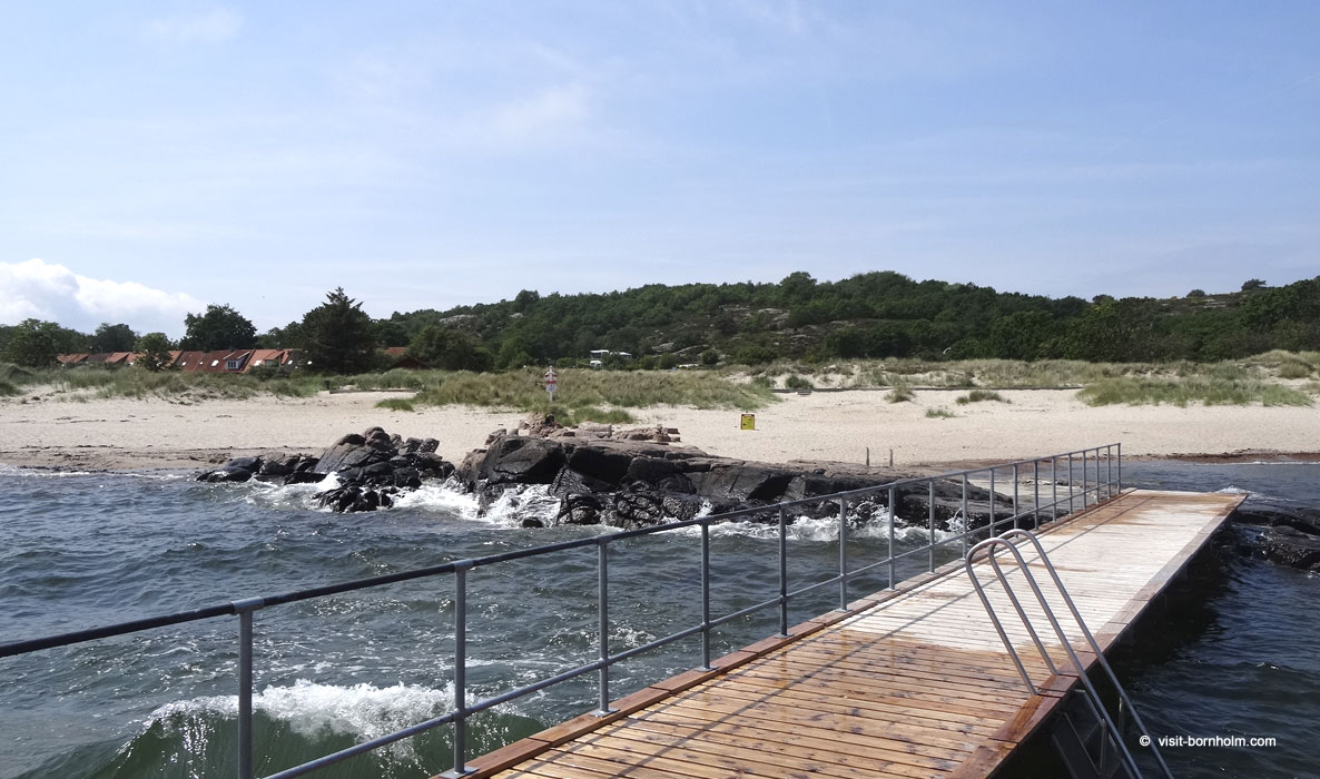 110 km of Bornholm's coastline – from sandy beaches to vertical granite cliffs
Conditions and safety
Wind and reflected waves
In westerly wind (W, SW) the northern cliffs generate strong reflected waves – vertical walls "bounce" water, creating chaotic swell. Above 10 m/s this section requires BCU 3–4 level skills. Paddle further from the cliffs to reduce the effect.
Landing spots
On the northern coast landing options are limited – between harbours the distance can be 7–9 km without a sandy beach. On the east and south, water entries are more frequent. Always plan emergency exit points.
Don't paddle alone
The recommended minimum is two people – especially on northern cliff sections. Bring a tow line, phone in a waterproof case, and inform someone of your planned route.
Fishing nets
On some sections unmarked fishing nets may be present. It's worth keeping a knife within reach in case of entanglement.
Rentals and guides
On Bornholm you can rent sea kayaks (single and tandem) at several locations around the island. Some rental shops also offer short introductory courses and organised guided tours along selected sections of coastline – a good option if you're unfamiliar with local conditions or just starting your sea kayaking adventure.
If you're bringing your own kayak – the Bornholmslinjen ferry easily carries it on your car roof rack or as separate luggage.
Accommodation along the route
On a multi-day kayak trip around Bornholm, accommodation is most conveniently combined with harbours and campsites scattered around the island. For budget travellers – coastal shelters and free camping spots (fri-camps) are often right next to the water.
Season
The best period for sea kayaking is May–September. Water temperature 14–20°C, long days giving comfort for multi-hour stages. Spring (May–June) and early autumn (September) offer calmer conditions and less traffic on the water – but nights are cooler and weather less predictable.