Trekking from Gudhjem to Helligdomsklipperne
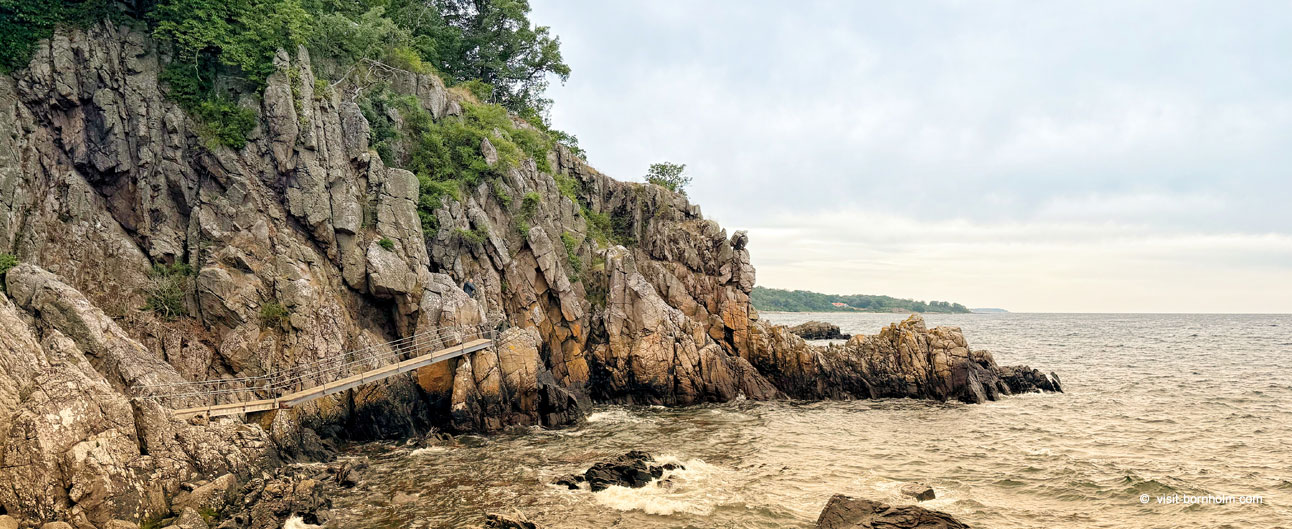
This trekking route from Gudhjem towards Helligdomsklipperne is one of the most beautiful sections of Bornholm's northern coast. It follows the coastal rescue path along cliffs, through forest and rock formations, with views of the sea and Christiansø in the distance. The name highlights the main goal — the famous Sanctuary Cliffs — although our GPX track continues a little further, down to the charming cliff-sheltered harbour of Bådsted Havn. From there you can easily return by bus to Gudhjem (stop right by the harbour) without walking back the same way.
Route facts
Distance
8,0 km
Time
2 h 30 min
Difficulty
Moderate
Parking
Parking at Nørresand harbour in Gudhjem
The trail leaves Gudhjem and runs north along the coast. The section to Helligdomsklipperne is about 5–6 km of demanding but spectacular hiking; the remaining kilometres lead more gently to Bådsted Havn. The map shows the full route — longer than the hike "to the cliffs" alone.
Route overview
Set out from the car park at Nørresand harbour in Gudhjem. Along the way it is worth stopping at the cliffs, the menhirs and the art museum — below are the main points in walking order.
A convenient start and place to leave your car. Before setting off you can grab a coffee in one of Gudhjem's cafés — the town is famous for its narrow lanes climbing the rock.
A natural rock formation just beyond Gudhjem — according to legend a robbers\' hideout. A short stop with views of the raw, rocky coastline. approx. 15–20 min
A group of upright stones thousands of years old, standing on open ground with sea views. A quiet, evocative spot — worth taking time for a calm walk among the stones. approx. 10–15 min
The main highlight: dramatic cliffs, steps down to the rock formations and the Sorte Gryde (Black Pot) cave. Descend to sea level — the view from below is the most impressive. approx. 30–45 min
An art museum built into the rocky landscape right by the cliffs. Baltic panorama and a collection of artists linked to the island — a good, longer stop halfway along the route. approx. 45–60 min (optional)
A small, picturesque harbour hidden between the cliffs — the end point of our GPX. No shops; bring supplies with you. A bus stop right by the harbour — regular services to Gudhjem. You can also rest on the small beach north of the harbour.
Summary
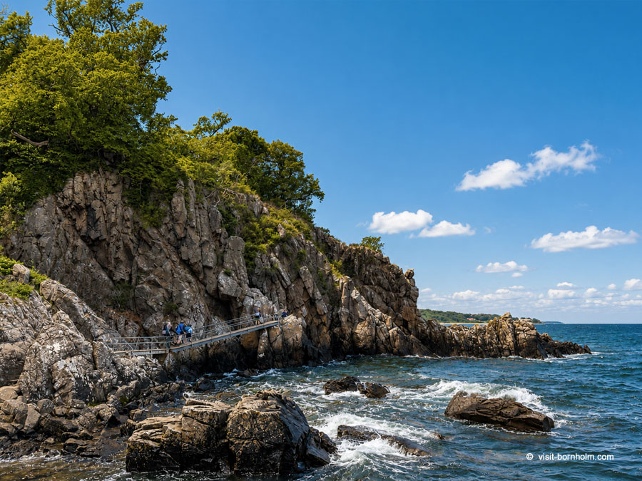 Helligdomsklipperne cliffs on the trail from Gudhjem
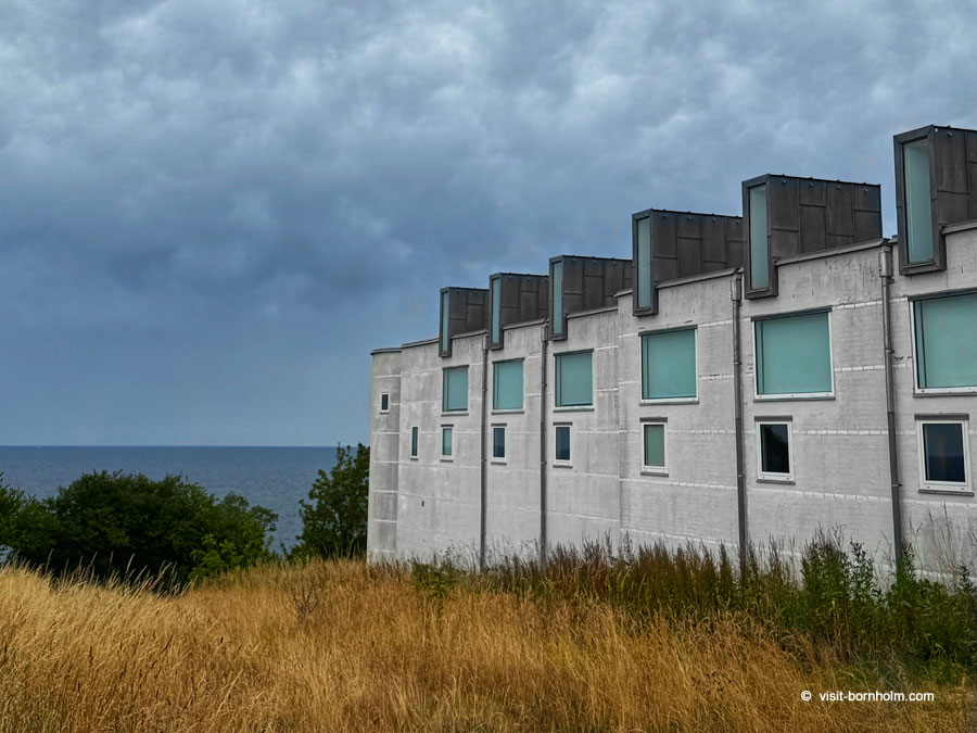 Bornholms Kunstmuseum above the Helligdomsklipperne cliffs
Practical tips
| Supplies | there are no shops in Bådsted Havn; bring water and food from Gudhjem. |
| Return | from Bådsted Havn the easiest way back is by BAT bus to Gudhjem (stop by the harbour). Alternative: the same route on foot in reverse (approx. 8 km). |
| Footwear | trekking shoes with good soles; rocky sections and steps on the cliffs can be slippery after rain. |
| Time for the cliffs | at Helligdomsklipperne allow more than a flying visit; the descent to Sorte Gryde is the highlight of the whole hike. |
| Museum | Bornholms Kunstmuseum has toilets and drinking water; a good place for a break halfway. |
| Extension | if you wish, you can walk on to the waterfall in Døndalen (a separate, shorter section from the cliffs). |
| Cafés | full catering options are in Gudhjem; worth stocking up before you leave. |


