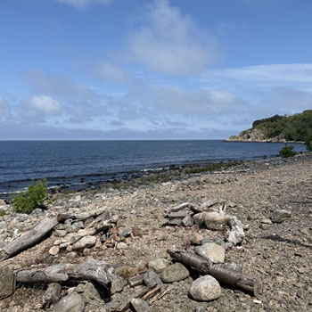
Hestestenene – the legendary Horse Stones of Bornholm
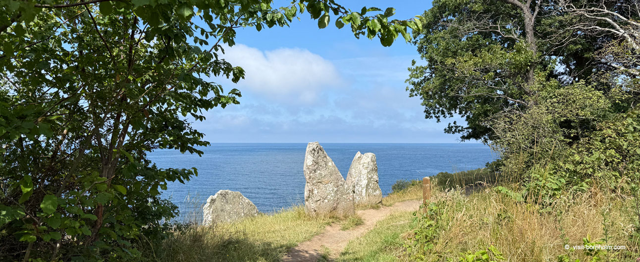
Hestestenene (Danish for “horse stones”) is one of the most photogenic megalith sites on Bornholm — four tall monoliths stand on the cliff top right beside the coastal path between Gudhjem and Helligdommen, with views over the Baltic. Bornholm has several bauta fields, but Hestestenene stands out both for its position above the drop and for its dense layer of legends about petrified horses, thick fog and ancient sacrifices thrown into Salene Bay. It is a place where prehistory meets local storytelling — well worth a visit on a walk or trekking stage along the north coast.
Four monoliths above the sea
Walking the Kyststien path from Gudhjem towards Rø — barely half a kilometre from the town centre — you reach an open, high cliff where four upright stones stand in a row. Dated to the Neolithic and Bronze Age, they form a distinctive silhouette above the Baltic; from here the panorama stretches across both the coast and the open sea. Already in the 19th century researchers described them as “Hestestenene” — the Danish name referring to stories about horses. The monoliths remain in their original arrangement, though the cliff setting is sensitive to erosion and visitor traffic — approach with care and do not go too close to the edge.
On the Kyststien trail, near Salene
Hestestenene lies practically “on the way” on the third stage of the Kyststien trail from Sandvig to Gudhjem — right beside the coastal path between Gudhjem and Helligdommen. In the same area, not far towards Salene Bay, you will also find the Salene Gravplads burial ground with its kraterrøser — another distinctive Iron Age marker on this stretch of coast. A walk linking both sites is a natural choice for anyone interested in history and the cliffs of northern Bornholm.
- The coastal path leads from Gudhjem towards Helligdommen — the monoliths appear after about 500 m
- The same section forms part of Kyststien stage 3 (Sandvig → Gudhjem)
- Nearby: Salene Gravplads — a kraterrøser grave field above Salene Bugt
- Free access; take care at the cliff edge — open terrain, archaeologically sensitive
Legends
According to local lore, a young bridal couple lost their way in thick fog and fell from the cliff — the horses were said to have turned to stone, giving the stones their name. Another tale speaks of an ancient place of sacrifice where horses were thrown over the precipice in honour of Salene Bay.
Good to know about Hestestenene
- Four standing monoliths on the cliff; dating: Neolithic and Bronze Age
- About 500 m on foot from central Gudhjem towards Rø, on the Kyststien coastal path
- Near Salene Gravplads — distance between the sites about 500–600 m
- Free access; open terrain — keep clear of the cliff edge
- Approximate coordinates: ca. 55.21°N 14.96°E (map below)