Smaller Quarries on Bornholm
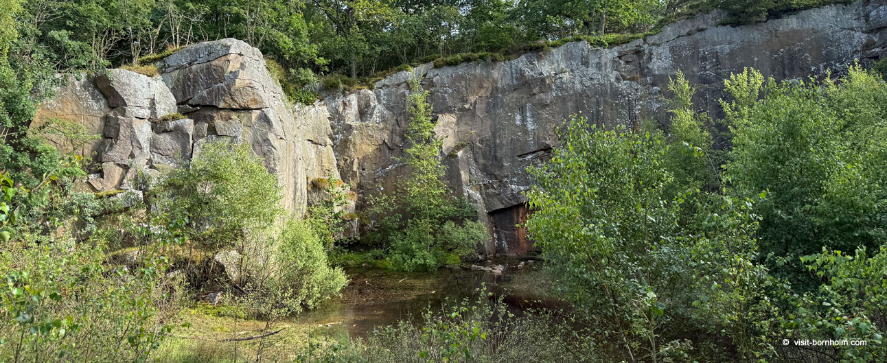
Besides the great quarries at Vang and Moseløkken, northern Bornholm hides dozens of smaller granite excavations scattered across hills, heathlands and coastal cliffs. For over 150 years – from the early 19th century until the 1970s – stonemasons quarried granite here both on an industrial scale and in small, often family-run operations. Today these abandoned pits have been overgrown by forest, filled with water, or become scenic spots along hiking and cycling trails. Each one tells a different story of Bornholm's stone industry.
Opalsøen and Krystalsøen – Quarries on Hammerknuden
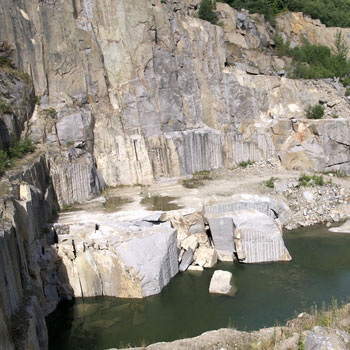
On the very northern tip of Bornholm – the headland of Hammerknuden – the mighty Bornholms Granitværk operated from the 1880s until 1971, founded by the German baron von Ohlendorff. After the quarry closed, the deepest pit filled with rainwater, creating the famous Opalsøen (Opal Lake) – one of the most beautiful spots on the island, surrounded by vertical rock walls up to 70 metres high. Just above lies Krystalsøen – a smaller, older pit where granite was split by hand using hammers and wedges. Even older is the excavation called Sibirien – named after the extremely harsh working conditions at the site.
Today Opalsøen is a popular spot for climbing, rappelling and zip-lining. During the breeding season of peregrine falcons, which nest on the rock walls, access to the pit is restricted.
Ravnedal – The Red Granite Quarry
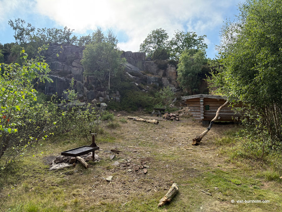
In the valley of Ravnedal, within the Borrelyngen heathlands, lies a quarry of a very distinctive character. The granite extracted here has a reddish hue, differing from the typical grey hammer granite of the island's north. It was from this very stone that, in the 1890s, six monumental columns were carved for the main entrance of the Store Nordiske Telegraf-Selskab building on Kongens Nytorv square in Copenhagen.
A geological curiosity of Ravnedal is the occurrence of so-called skriftgranit (written granite) – in pegmatite veins, quartz forms structures resembling runic script. Today the quarry is almost completely overgrown, but it can still be found along the cycle path in the southern part of the valley.
Borrelyngsværket – The Quarry in the Heather
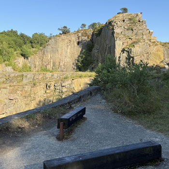
On the hills of Borrelyngen, on the eastern side of Borrelyngsvej road, the Borrelyngsværket plant began operating in 1943. At its peak in the mid-1950s, alongside the main pit on the eastern side of the road, several smaller ones functioned on the western side. After extraction ended, the former western pits were briefly converted into a small animal park in the 1970s. Today the area is being reclaimed by natural vegetation and forms part of the protected Borrelyngen landscape.
Høje Meder and Sæne Meder – Terraces above Hammersø
On the slopes of Hammerknuden, above Lake Hammersø, distinctive rock terraces are still visible – traces of systematic granite extraction carried out by Hammerværket. Høje Meder are the highest terraces, offering views of the Hammershus ruins and the sea. Granite was transported from here by wagons along a brake incline (bremsebane) down to Hammerhavn harbour, from where it was shipped to Copenhagen and Germany. Remnants of the infrastructure – anchor bolts, compressed-air tanks, rail tracks – can still be seen today.
Klondyke – Quarries by the Sea
On the coast, south of Vang harbour, lies the area known as Klondyke – a name given by stonemason Jacob Mogensen, who believed he would find "gold" here in the form of the finest-quality granite. It is a cluster of several smaller pits in the coastal cliffs, from which stone was transported by wagons on rails to the harbour. Violent storms from the west twice destroyed the railway on the beach (in 1905 and 1906), ultimately ending extraction at this site. Today the former pits are filled with water and overgrown with vegetation – they are a nesting site for herring gulls and form a picturesque section of the coastal hiking trail.
Stenhuggerstien – The Stonemason's Trail
The best way to explore the smaller quarries of Hammerknuden is to walk the Stenhuggerstien (Stonemason's Trail) – a route of approximately 5.5 km, opened in 2018. The trail leads from the car park at Oasandet through former pits, the Høje Meder terraces, along Opalsøen and Hammersø, revealing the "back side" of the headland – places where for almost 100 years hundreds of stonemasons toiled.
Vang Quarry – the largest excavation on the island
Good to know about the smaller quarries
- In the far north of Bornholm there were over a dozen smaller quarries – many of them private ventures on leased land
- Opalsøen was created after Hammerværket closed in 1971 – the pit filled with water forming a lake approx. 10 m deep
- Granite from Ravnedal was used to build the columns on Kongens Nytorv in Copenhagen (1890s)
- The Sibirien quarry on Hammerknuden is one of the oldest excavations on the island
- The Stenhuggerstien trail (5.5 km) leads through the most important former quarries on the Hammerknuden headland
- Peregrine falcons now nest on the rock walls of former quarries – during the breeding season some pits are closed
Location of selected quarries
| Place | Navigation | |
|---|---|---|
| Opalsøen / Hammerknuden – Opalsøen Parkering, Hammerhavn | Google Maps | |
| Ravnedal – by the cycle path, between Vang and Allinge (Parking lot) | Google Maps | |
| Borrelyngsværket – by the cycle path, between Vang and Allinge (Parking lot) | Google Maps | |
| Klondyke – coast south of Vang harbour (Kyststien trail) | Google Maps |