Paradisbakkerne – Paradise Hills on Bornholm
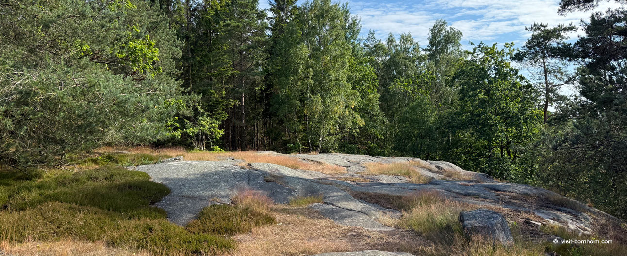
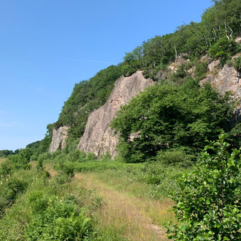
Paradisbakkerne, or the "Paradise Hills", is one of the most extraordinary natural areas on Bornholm. This privately owned woodland, located approximately 3 km northwest of Nexø in the eastern part of the island, captivates visitors with its rolling, rocky landscape cut by narrow rift valleys with near-vertical rock walls. The hills rise 30–50 metres above the surrounding forest, and one of the highest points – Midterpilt – reaches 113 m above sea level.
Landscape and geology
Paradisbakkerne is an area with a unique geological structure – the bedrock is granite, intersected by a series of narrow valleys running from north to south. Steep rock cliffs, crevices and glacial formations left by the last Ice Age create a landscape unlike anything else in Denmark. Within Paradisbakkerne you will find numerous glacial erratics, ice-scratched rock faces and distinctive stone cairns that once served as landmarks visible from afar – today they are surrounded by dense forest.
As recently as the early 20th century, the area was covered with heathland and low scrub, serving as pasture for local herds. From the 1930s onward the terrain was gradually afforested, and today it is covered by a mixed coniferous-deciduous forest with clearings of heather and small lakes.
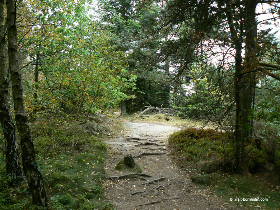
Helvedesbakkerne – the Hell Hills
Right next to Paradisbakkerne lie the Helvedesbakkerne, or "Hell Hills" – a name that contrasts strikingly with the neighbouring "Paradise Hills". This area features an equally dramatic landscape, full of narrow rift valleys, glacial erratics and ice-scratched rock faces from the last Ice Age. Geologically it is one of the most fascinating sites on the island and makes a perfect complement to a visit to Paradisbakkerne.
Rokkestenen – the rocking stone
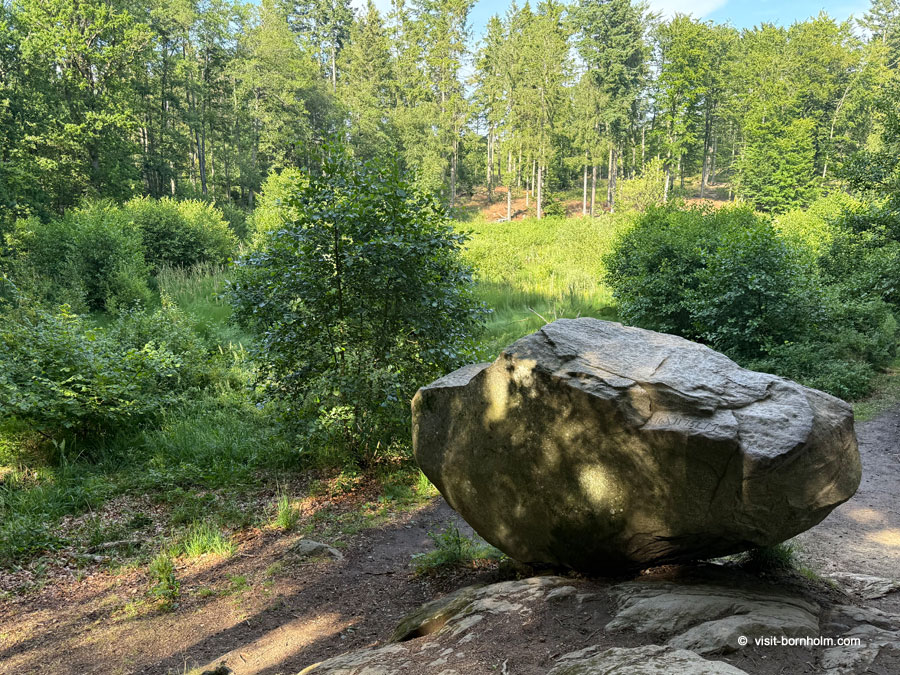
One of the most remarkable attractions in Paradisbakkerne is Rokkestenen – the largest rocking stone on Bornholm. This glacial erratic weighs approximately 35 tonnes and was carried to its present location by a glacier thousands of years ago. Thanks to its specific positioning, the stone can be set gently rocking – you just need to push in the right spot. To reach Rokkestenen, follow a forest path that turns right at the beech wood – it is one of the must-see stops during a visit to Paradisbakkerne.
Legends and culture
Paradisbakkerne is steeped in local legends. Many places within the hills have their own names and stories passed down through generations: Slingestenen, Linkisten, Ligstenen, Dybedal, Ravnedal, Majdal and Gamle Dam – each holds a tale of the island's former inhabitants, ghosts or mysterious events. As you walk along the forest paths, it is worth remembering that this forest has inspired both admiration and reverence among Bornholmers for centuries.
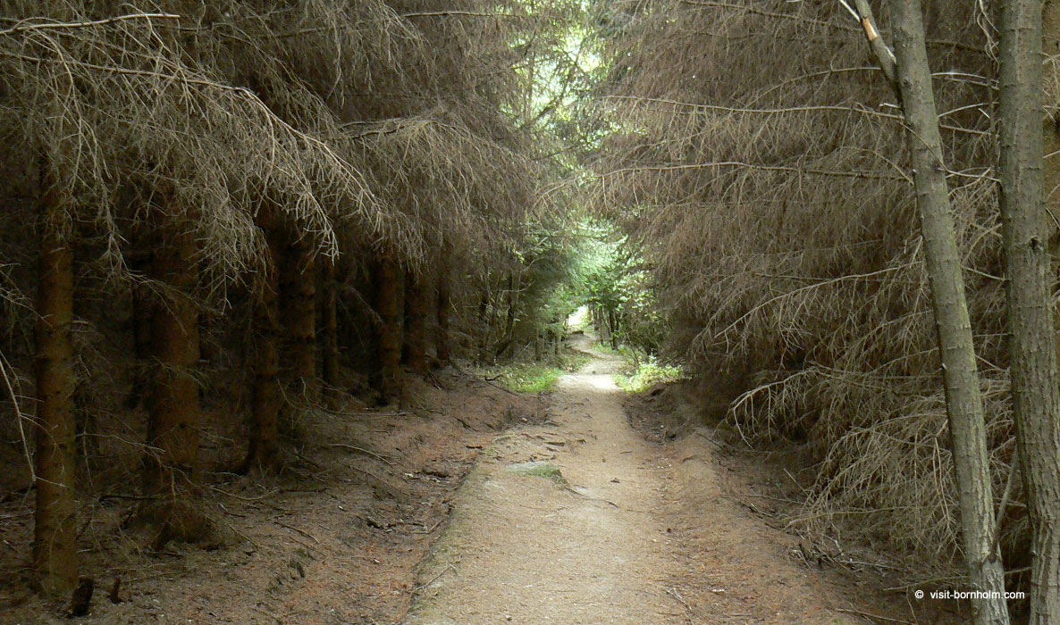 Hiking in Paradisbakkerne
Hiking trails
Paradisbakkerne is a privately owned forest, so visiting is only permitted along the marked trails, between sunrise and sunset. Three marked routes have been laid out:
| Trail | Marking | Route character |
|---|---|---|
| Route 1 | Red circle | Route through the central hills with rock formations |
| Route 2 | Blue square | Trail leading to Rokkestenen and through the rift valleys |
| Route 3 | Yellow triangle | Longer loop including Helvedesbakkerne |
The terrain is hilly and challenging in places – sturdy walking shoes are recommended. A map of the area is available from the Bornholm tourist information office.
Cycling in Paradisbakkerne
Paradisbakkerne is popular among mountain bikers, although no official MTB trails have been established. As the forest is privately owned, restrictions apply: cycling is only permitted during daylight hours (from 6:00 am to sunset) and exclusively on paths suitable for regular bicycles. A cycle route crossing the entire island from east to west also passes through the area. For those unfamiliar with the terrain, hiring a local MTB guide is recommended.
Nature
Paradisbakkerne is an ecologically rich area with diverse flora and fauna. The mixed forest combines coniferous and deciduous trees, while damper areas support heathland, peat bogs and small lakes. In the hills and the nearby Almindingen and Ølene reserve, rare species of amphibians and reptiles have been recorded, and bird species include the red kite, osprey, crane, black woodpecker, marsh harrier and Tengmalm's owl. The Regional Municipality of Bornholm carries out controlled sheep grazing in designated zones to help preserve the natural character of the heathlands.
Good to know about Paradisbakkerne
- Paradisbakkerne is a privately owned forest – leaving the trails and entering after dark are not permitted
- Rokkestenen weighs approx. 35 tonnes and really does rock if you push in the right spot
- The name "Paradise Hills" contrasts with the neighbouring "Hell Hills" (Helvedesbakkerne)
- Entry is free, but bring a map – it is easy to lose your bearings in the forest
Location and access
| Paradisbakkerne | |
| Eastern part of Bornholm, approx. 3 km northwest of Nexø | |
| Parking at Oksemyrevej (Svaneke) – with toilets, tables and benches, or parking at Lisegårdsvejen 2A or Oksemyrevejen (Nexø) – also with toilets |